Wednesday, August 26
Roy H Park Preserve
Hike report by Jim
Fourteen hikers and one dog met in the parking lot of Roy Park Preserve South for a hike of the various blue, white and orange blazed trails there. This is hike # 67-5 on our list of regular hike locations: Hike #67 – ithacahikers.
Weather for the hike was very good; as I drove to the trailhead the morning temps were cool and a mist hung over the small ponds I passed on Irish Settlement Rd. By the time we were done with the hike the skies were a sunny clear blue with large white clouds and temps had warmed up considerably.
Roy Park South trails have a different feel to me than Roy Park North, which is a steady uphill climb once you’re past the boardwalk. Roy Park South is a mix of open fields and woods, with a couple of trails that lead down to the creek, a feature that is entirely missing from Roy Park North. We don’t hike Roy Park South often because the trail system doesn’t offer a full two-hour hike duration and the smaller parking area can be an issue for group hikes.
The hikers set off from the parking lot, stopping at the kiosk to review our route and take a group picture. Continuing onwards we turned onto the blue blazed trail that leads to the heart wall and our first visit with the creek. Water in the streams was flowing well today. Recent blowdowns across the footpath have been cleared from the trail. Overall, hiking conditions were generally good, with mowed paths and very little mud along our route.
The group returned to the loop, soon taking the second trail to the creekbed.
We continued on our way to the orange blazed open field loop, which ends back at the blue blazed trail. Some hikers chose to end their hike early at this time and return to their cars, while the remainder of the group chose to re-trace our route on the orange and blue loop to extend the hike duration.
Hikers arrived back at our cars about 20 minutes earlier than on most hikes.
We saw a couple of other hikers and dog walkers on the trail but otherwise had the trails to ourselves.
A warm welcome to Liz on her first hike with the group!

Saturday, August 29
Jenksville State Forest, Newark Valley
Hike report by Nina F.
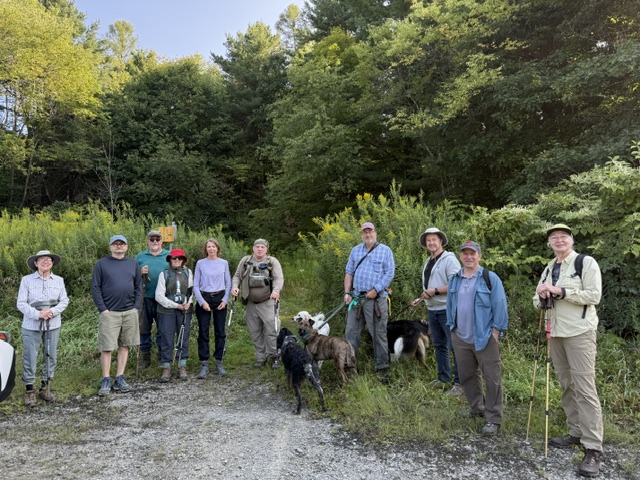
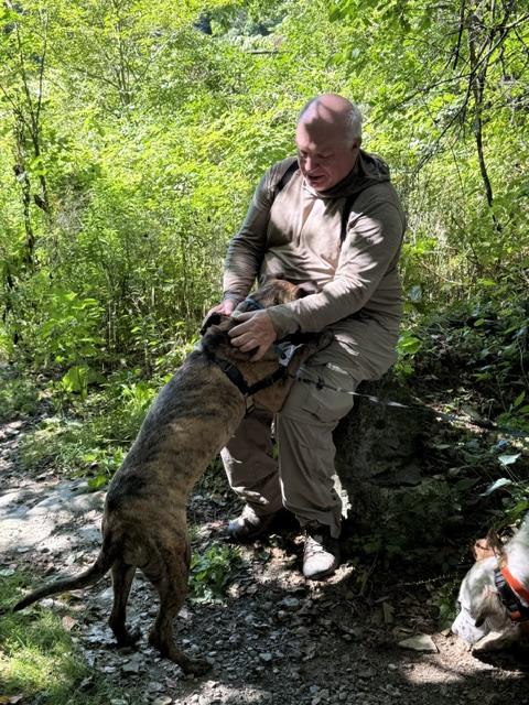
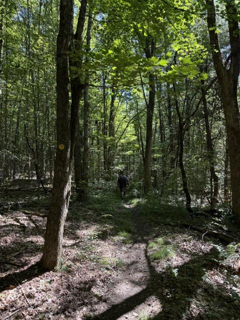
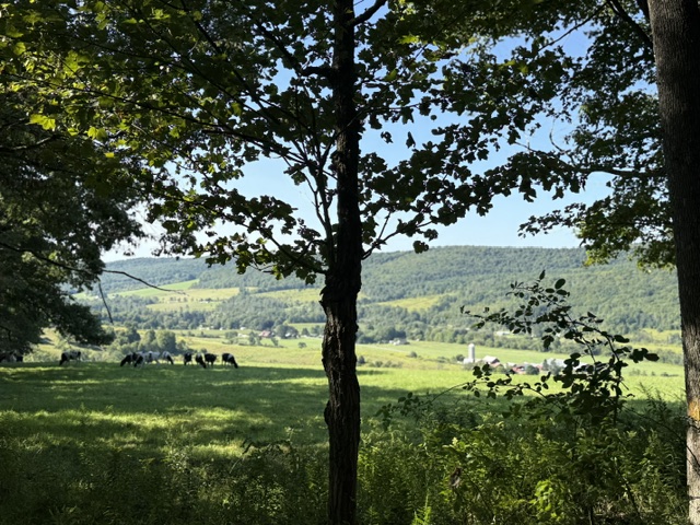
Eleven hikers, including one first time Ithaca Hikers Club participant, and four dogs met in the Allison Hill Road parking lot to hike Jenksville State Forest on a lovely Saturday morning. As was suggested in the hike description, the drive to the hike, though longer than to many of our meeting spots, was as pretty as the hike itself. Jenksville State Forest has an extensive trail system where the trails are well maintained and there is little elevation gain, so it was a relatively easy hike with lovely scenery. The remnants of old stone walls and long abandoned building foundations made for some additional interesting features. We were also rewarded a few times with lovely views of fields and farmhouses. We passed two cyclists (twice) but otherwise had the trails to ourselves. We kept up a solid pace, with the entire group ending the hike together after approximately 5 miles and exactly two hours. Everyone seemed quite enthusiastic about this hike location.
Six hikers opted to go to lunch afterwards at the award winning Richford diner, which won the 2026 Finger Lakes Favorites Gold Award during their first year in business. The lunch was delicious.
History of Jenksville State Forest from DEC website: The forest was established between 1940 and 1945 in an effort to reduce soil erosion problems, produce forest products and provide future recreational opportunities. Most of the property was former pasture or tilled acreage that was suffering from poor agricultural practices. DEC planted this land with 837,000 pines, spruce, fir, cedar, larch and oak seedlings. The planting was accomplished in 1940 and 1941 using Civilian Conservation Corps labor. Today, Jenksville State Forest is fulfilling the vision which started in 1940. Almost 99% of the area is forested, the soils have improved, and harvesting of forest products supports all management activities, including recreation.
Sunday, August 30
Braley Hill trails south of FLT, Brooktondale
Hike report by Leigh Ann
This is a good new hike to add to our regular rotation, and this can be called the South Braley Hill Hike. Twenty-three hikers and four dogs on leashes met up at the trailhead, which is the parking pull-out about 0.1 mile north of where the FLT crosses Braley Hill Rd. Here’s the description of the hike route, which is about the same as before. Lots of people on the hike said they’d like to do this on a regular basis.
This is a new, shady hike on bike trails southeast of the FLT parking area on Braley Hill Road. It is about 4.2 miles long and has about 500 feet of elevation gain. The return leg on Blue 6 goes along a lovely stream valley. For a map showing the trail labels and distances, see here: https://www.shindagin.com/.
From the parking area, we head east on the FLT appx. 0.7 miles to Blue 3.
Then we turn right on Blue 3 and head south (it turns into Blue 4) about 1.7 miles to where it ends at a southern point on Braley Hill Rd.
Once we tap the road, we head back into the woods and go north on Blue 6 about 1.6 miles until we return to the FLT.
We turn left on the FLT to go about 0.2 mile to the cars.


