Wednesday, July 15
South Hill Rec Way/Six Mile Creek
Hike report by Kathy K
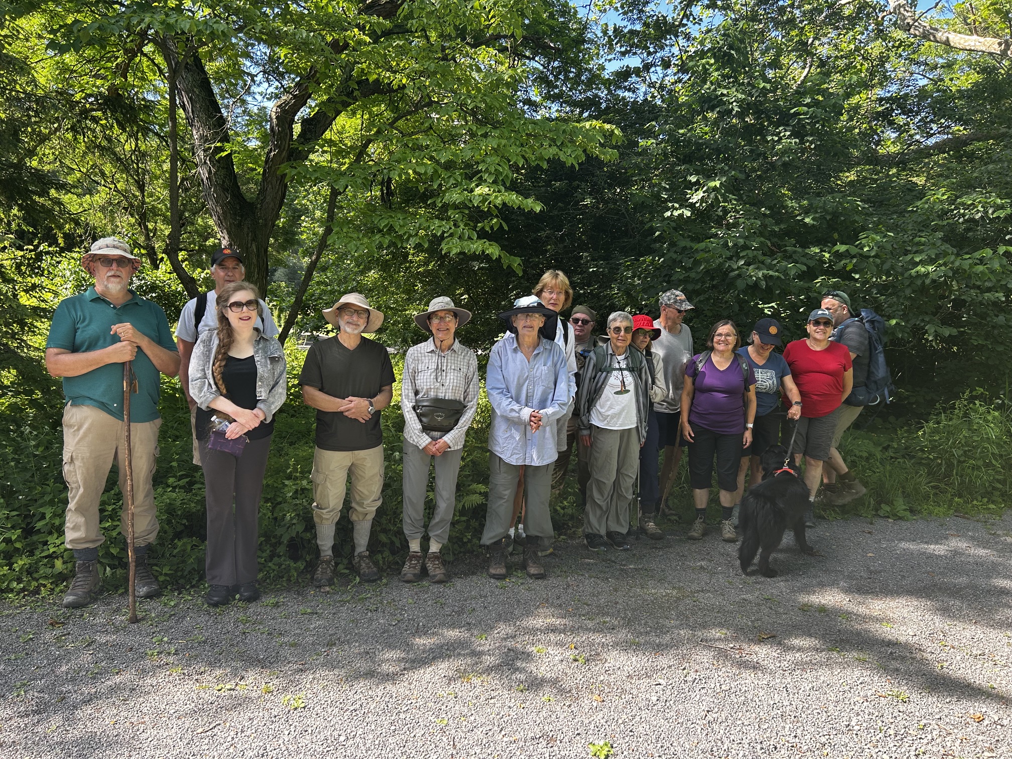
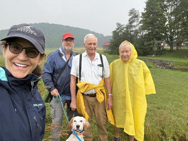
Twelve intrepid hikers and one dog met for a hike near South Hill Recreation way before the air quality got really bad. Hike #2-1 from Crescent Place.
We went down in the woods, admired the views from two overlooks, and continued on to the southern end of the trails to rejoin the railroad path; being short of an hour we continued south a few minutes on the railroad path, then turned around and walked back on the railroad path arriving at the cars about 15 minutes early.
Happily, Jim knew the hike well! (he was already on the trail waiting for us, so isn’t in the photo).
Welcome to new hiker Mary! and visiting hiker Trey (the tallest hiker).

Saturday, July 18
Finger Lakes Trail east from Lake Road, Dryden
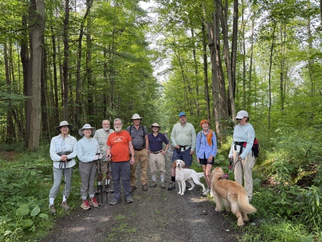
Hike report Nina F.
Four hikers and one dog met on an extremely rainy morning to hike the Finger Lakes Trail east from Lake Road in Dryden. The entire trail is on private property. Per the FLT website, this hike is extremely underrated, and I would agree. Despite being close to Dryden and Ithaca, it barely receives any traffic and it’s quite gorgeous along all segments of the hike. The walk starts along the road from the parking lot next to the Jim Schug Trail, then turns into a lovely field that you walk through to get to Havington Hill. Past the field, the trail becomes very steep for nearly a mile as you climb Havington Hill. There are switchbacks, but it’s still quite steep. Usually, hikers are rewarded with great views of the valley once they get to the other side of the Hill. However, on our rainy morning, the views were somewhat limited (though pretty in their own, foggy way). From there the trail continues through gorgeous woods filled with many different types of ferns until the turn around point. The rain really started coming down on our return trip, leaving us all soaked by the time we were back to the cars. Nonetheless, it was a lovely hike with good company.


Sunday, July 19
Shindagin Hollow State Forest, Brooktondale
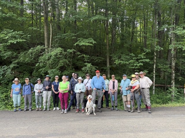
Hike report by Kathy K
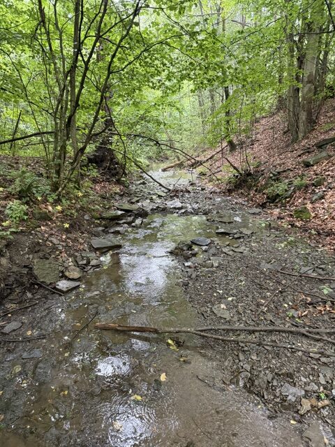
7 hikers and 2 dogs enjoyed the cooler weather to hike in Shindagin Hollow state forest from the north end of Braley Hill Road to the west. Moderately hilly hike with some trails (no serious water crossings) and some very rural road walk in forest. This is a modified version of Hike #28-3.
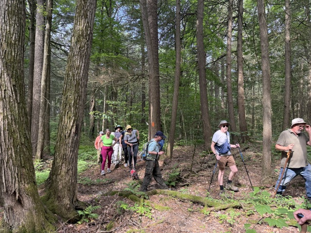
We did a big clockwise loop: started by going up the yellow trails (#8, #6) made for mountain bikers, with gorgeous stands of ferns, to upper Bald Hill School Road. Then north over to top of Leonard Rd and down that mile-long dirt road with lovely scenery & water running down beside the road (second photo). The bottom of Leonard Rd meets up with Chapel Hill Road. From there you can walk back along Central Chapel Rd (about 4 1/2+ miles total).
Next time we’ll try going counterclockwise to do the boring road part (Central Chapel Rd) first.