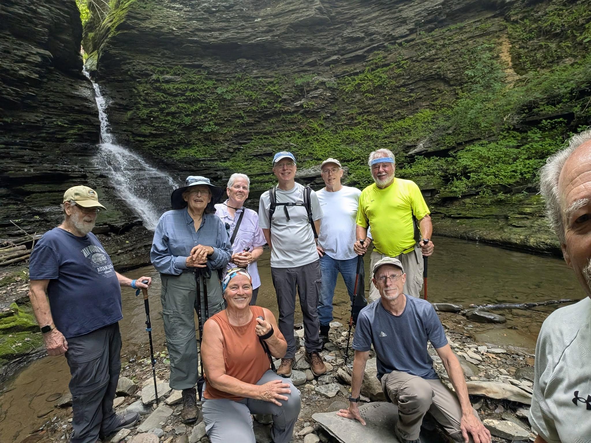
Wednesday, June 24
Monkey Run Natural Area, south side of Fall Creek, Varna
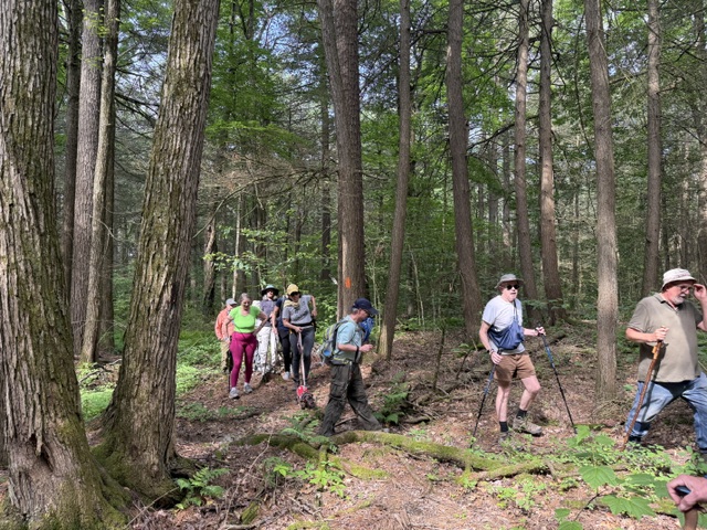
Hike report by Claire L.
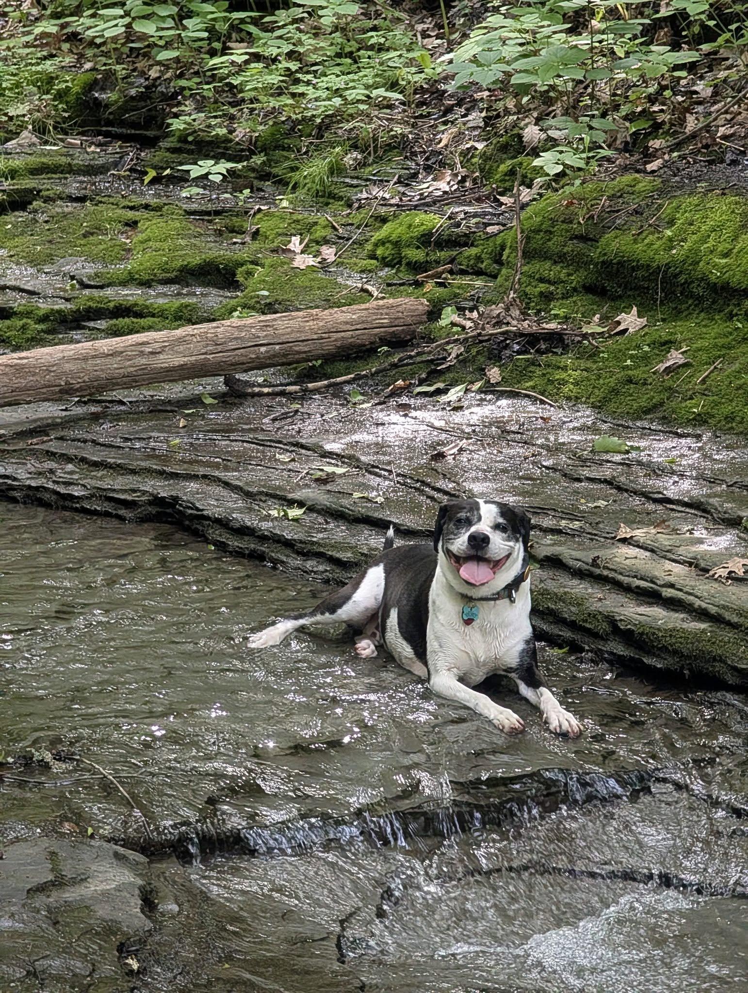
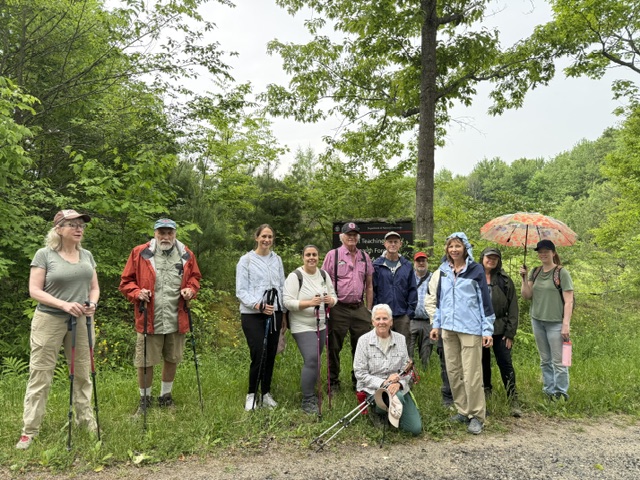
Eleven hikers and one dog met at the Monkey Run Northeast Parking, east of Ithaca, at the intersection of Route 13 and Lower Creek Road on a beautiful summer morning.
Privets were in full bloom. Their scent is so pleasant. It’s unfortunate that privets are not native and considered invasive. Various birds were chirping or otherwise busy like the downy woodpeckers.
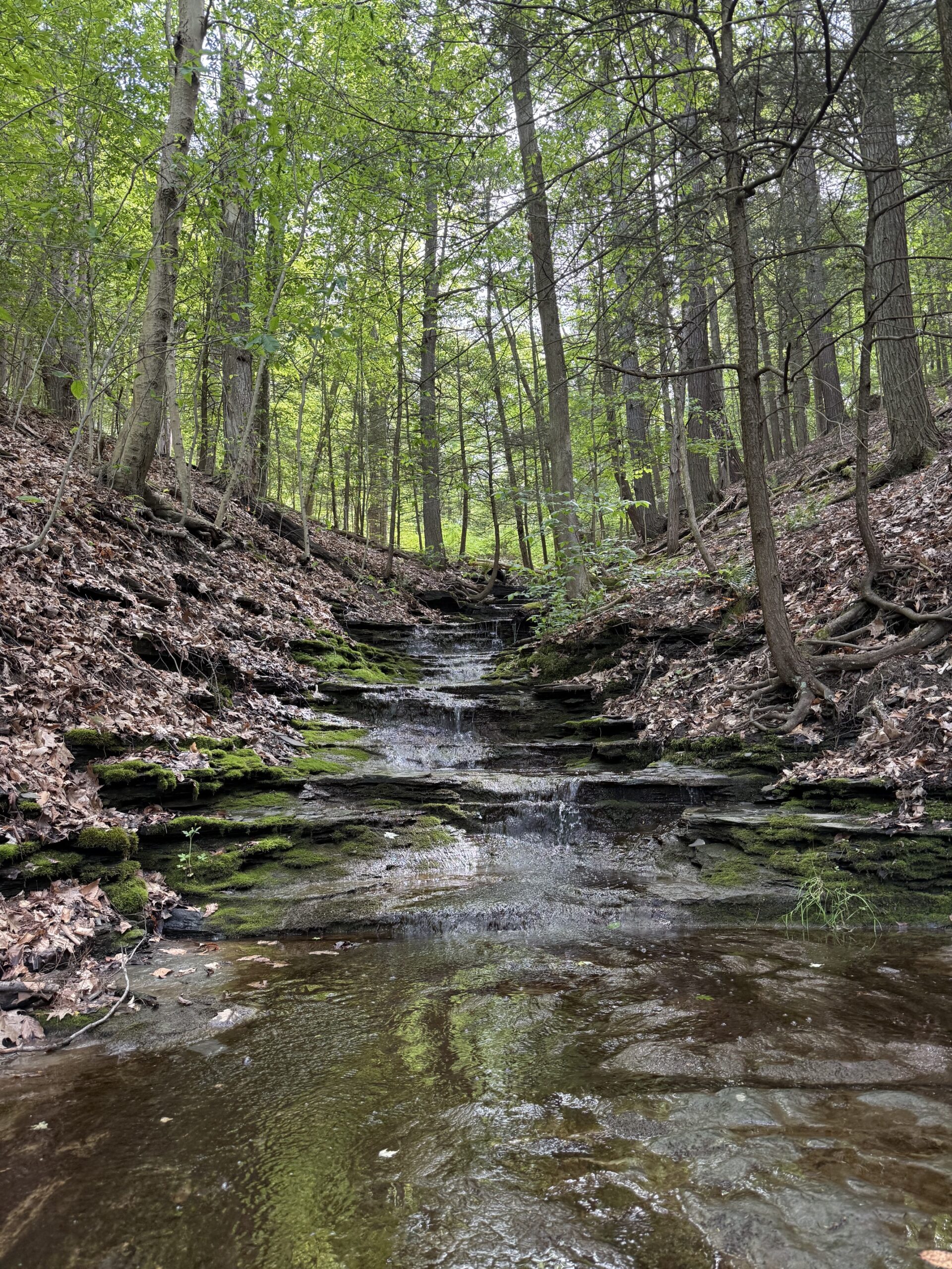
We followed Fall Creek downstream at a moderate pace. It was an out-and-back hike in the woods with an elevation gain of 244 feet. We started at the level of the creek and slowly walked up with beautiful views of the meandering creek before turning around.
On the way back the trail branches out at the level of the Monkey Run bridge with one trail going straight back to the Northeast parking lot on Route 13 while the other one goes to the Monkey Run road parking area near Route 366. They are both marked with red blazes and there is no sign to indicate which parking lot they lead to. One hiker who had decided to turn around earlier made an unfortunate mistake at that junction. She eventually found her way back after hiking 8 miles while the rest of the group did about 4 miles. “All’s well that ends well!”


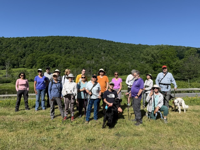
Saturday, June 27
Abbott Loop east from Michigan Hollow Road to Hill Road and beyond, Danby SF
Hike report by Nina F.
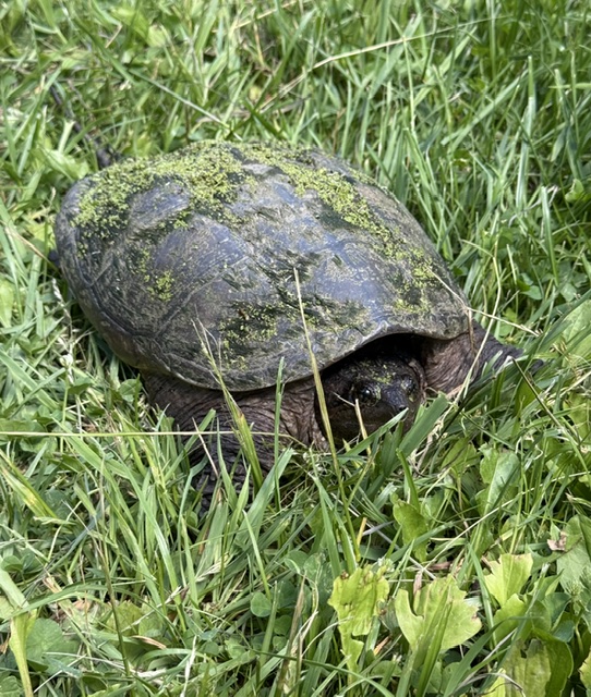
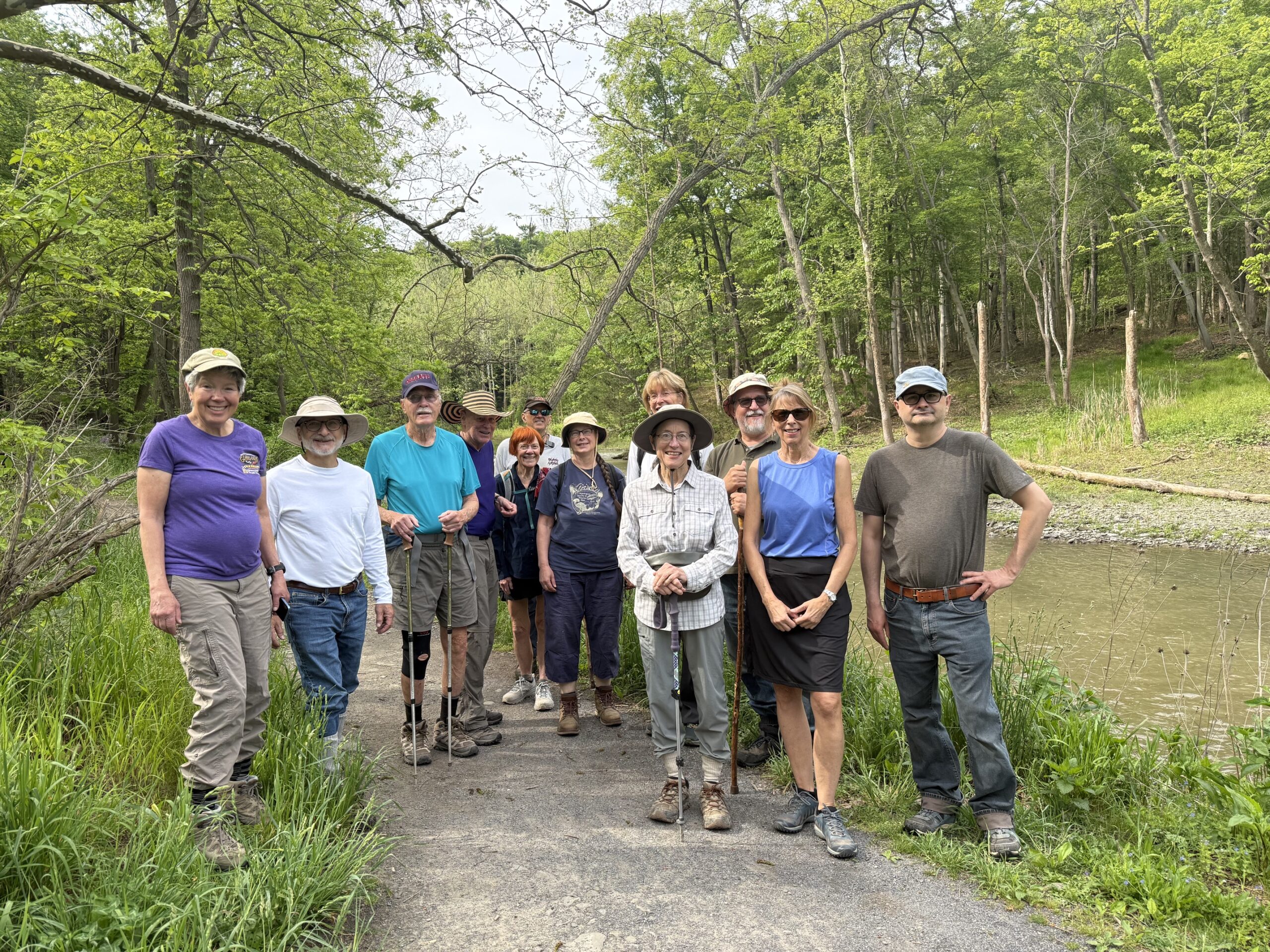
21 hikers and 3 dogs met at the Abbott Loop trail on Michigan Hollow Road to walk in Danby State Forest. It was a beautiful, sunny morning. We started with quite a vigorous climb on Abbott Loop trail from Michigan Hollow Road to Hill Road (a gain of 500 feet). We crossed Hill Road and continued on Abbott Loop’s wooded trail to a portion of the Finger Lakes Trail, crossing small bridges that helped avoid muddy spots. This “lollipop loop” brought us back around to Hill Road, which we followed back to Abbott Loop trail and retraced our steps back to the cars. Cayuga hikers were hiking the same trail an hour after us and we saw a few Cayuga hikers in the parking area who had arrived early for their hike. Other than that we only encountered one other hiker along the trail. Wildlife highlight: Finding feathers of a barred owl and a turkey.


Sunday, June 28
Hammond Hill, Dryden
Hike report by Leigh Ann
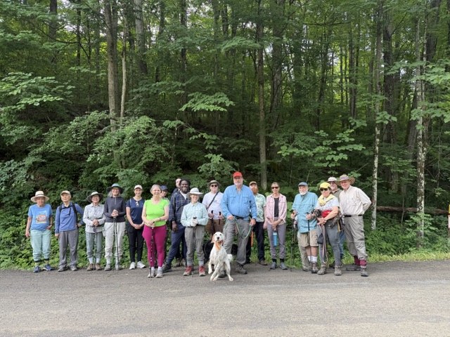
Nineteen hikers and one leashed dog met at the North Hammond Hill parking lot for this snail-shaped hike. I was as surprised as anyone that it turned out to be snail shaped. (You can see the screen shot from my Pacer app in the Google Photo album.)

I’m a fan of the newer red and blue trails on Hammond Hill, which often don’t look like “Hammond Hill” trails. They tend to have more ferns and denser forest. If you want to explore them, it’s a good idea to download a recent map, such as the one below from https://dec.ny.gov/places-to-go/maps/hammond-hill-state-forest-map.
Here’s the snail-shaped route.
- We started at the parking area on north Hammond Hill Road and headed east on Y1, then turned right to continue on Y6.
- At Canaan Rd., we continued across to Y5, then turned left to go uphill on R5.
- R5 is very pretty (follows a stream bed), and we continued it to where R5 ends at R4.
- We turned left on R4 and took it about 0.05 miles to where it ends on Y4.
- Then we turned left on Y4 and took it to Y8.
- Next, we turned left on Y8 and took it down to Y3.
- We turned right on Y3 and took it across Canaan to B3.
- B3 is gorgeous, and we took it around the top of a lovely hill with lots of dark woods and ferns.
- We ended B3 almost exactly where Y3 crosses Canaan Rd. and got back onto Y3 heading west toward the parking lot.
- On the way to the parking lot, Y3 ends and you keep hiking west on what is now Y1, which goes all the way back to the cars.
This is a nice hike for a hot summer day. Except for the crossings of Canaan Rd. and a little bit of open area near the parking lot, this is a completely shady hike. Additionally, elevation gain is front-loaded, from the parking lot to Y6. This 4.3 mile hike had only about 560 feet of elevation gain, and we finished it in two hours.