Allan H. Treman State Marine Park and Cass Park, Ithaca
Hike report by Kathy K.
Total of 5 hikers. Two of us (Kathy and Leigh Ann) met at the official starting point (Pier 6, at the north end of the parking lot by the trail); 3 more gathered at the south end (Pier 1) and created their own hike.
Leigh Ann and Kathy decided to modify the traditional hike route for Hike #53-1 (mostly on the west side of dog park/89, connecting up to Black Diamond trail) to spend more time along the waterfront:
— after (A) the loop north of the marina .
–we went (B) south past the marina to walk along the waterfront, going along the waterfront trail and under the three bridges that cross the Flood Control Channel, continuing along until this section ended at Floral Avenue just past the Cherry St pedestrian bridge,
— then (C) back north under the bridges and along the trail by the west side of the Children’s garden to Cass Park to the parking lot in Marina.
Finger Lakes Trail south and east from the corner of Townline and Layen Rds.
Hike report by Kathy K.
14 hikers met south of Ithaca at the corner of Townline and Layen Road for a lovely out-and-back of the FLT going south. Trails were dry, skies were blue, the 15 minutes hiking across the field (about 10 minutes in) was lovely with all kinds of wildflowers and grasses (1’ to 4’ tall).
We made it through the woods to Bruce Hill Road and on another 15 minutes to the “meadow”, then turned around and got back at exactly 2 hours.
Welcome to new hiker Autumn; she’s here from Maine for the summer.
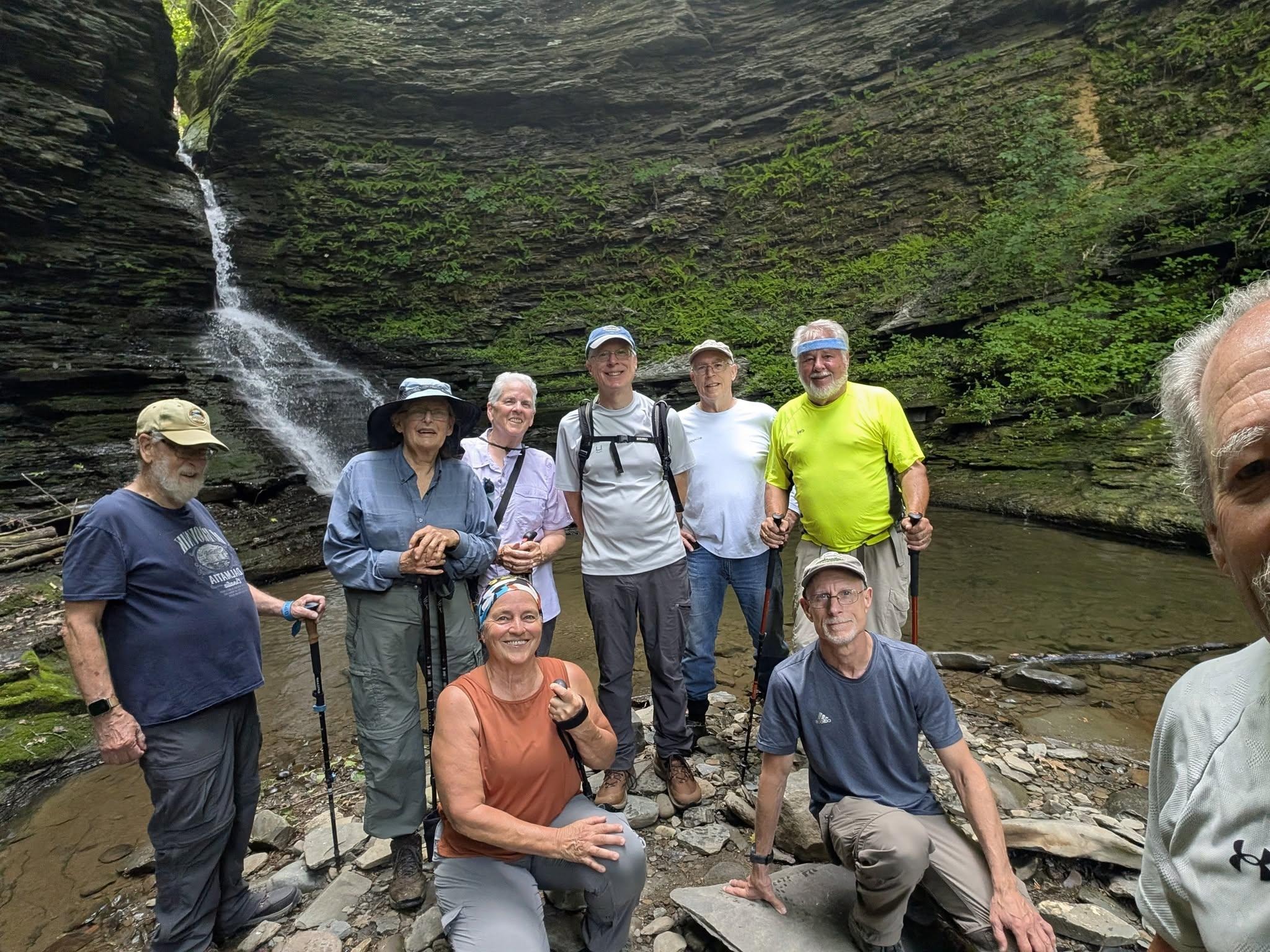
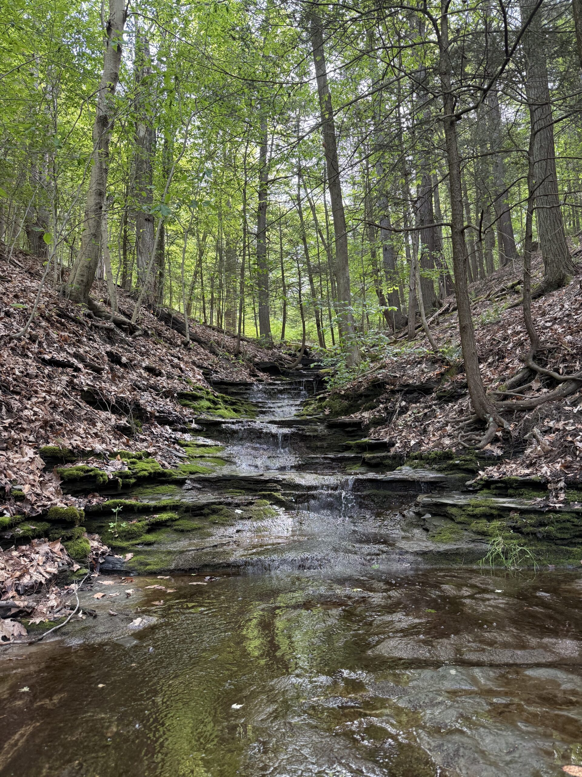
On Wednesday, June 10,nine hikers and one dog met on Jolly Road in Burdett to explore some of the trails in Excelsior Glen. The main trail through the Glen is the Finger Lakes Trail, but there are some additional side trails that are worth exploring. The FLT crosses the Glen creek. The creek crossing is no problem, and there is even a rope to help you across. However, the rocks on the far side are extremely slippery. I brought a box of gravel to spread on the slippery rocks to partially ameliorate the issue. It definitely helped.
We continued on the FLT to the bottom of the Glen, which is near NYS 414. A pretty little spot and waterfall were enjoyed by the group.
We then turned around and made our way back to the top up the steep trail. By then it was getting pretty warm, so the going was slow. We again crossed the creek and wandered down one of the side trails to capture a peek of the highest waterfall in the Glen. To get down to that falls requires some further hiking and then making your way up the stream. The group decided against that, but some said they would like to come back to try to do that.
The hike was just 2.7 miles with 800 feet of elevation gain. With the tricky sections slowing the group down we finished 10 minutes before the typical 2 hour duration.
Photos by Mark Sussman
Saturday, June 13
Lindsay Parsons Preserve, West Danby
Hike report by Nina F.
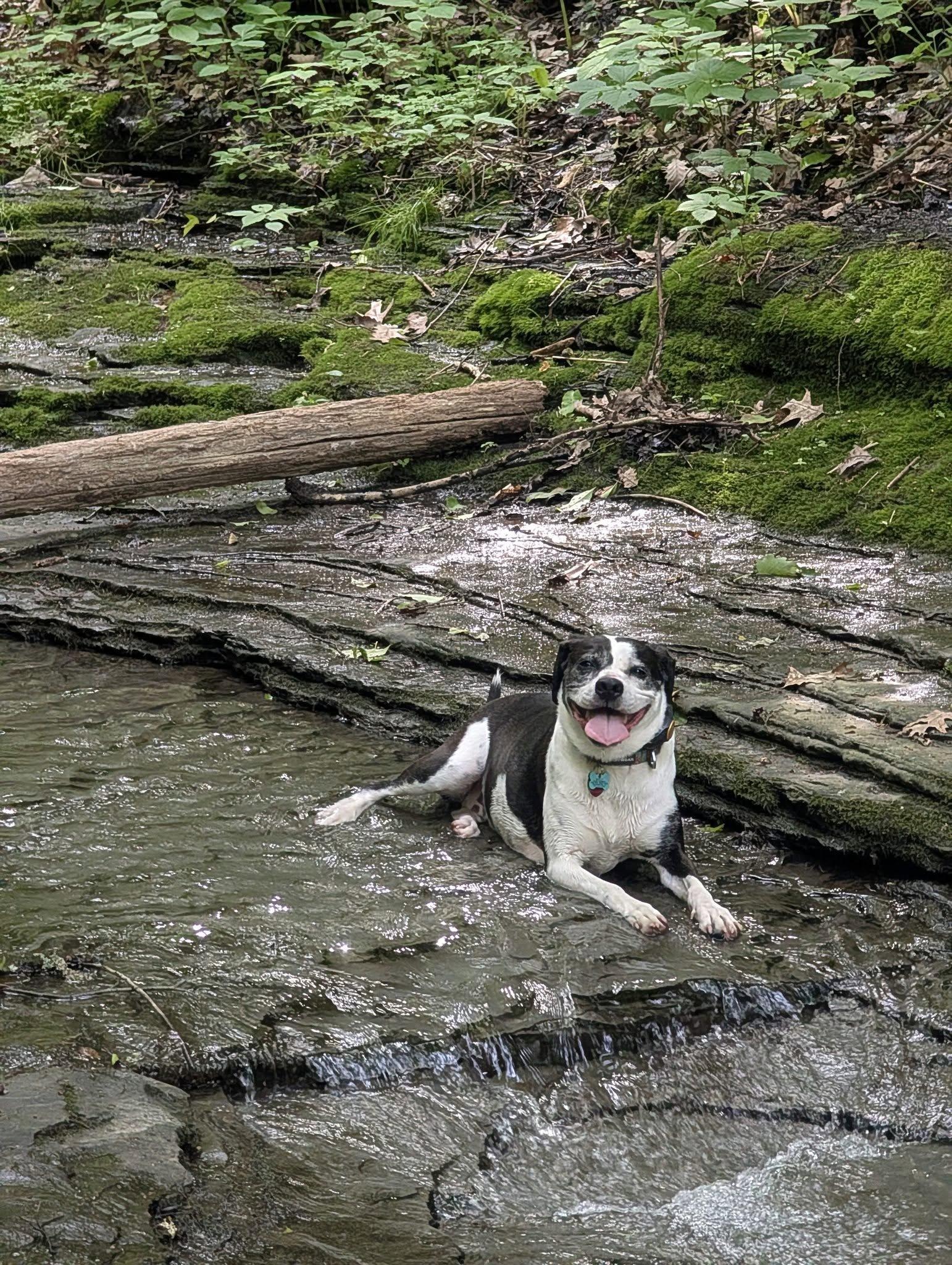
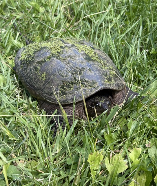
21 hikers and 4 dogs met at Lindsay-Parsons Preserve on what started out as a cool morning, but ended up rather warm by the end of the hike! This hike traverses several landscape types, including spacious fields, lovely marshes and ponds, and dense, hilly woods. We were lucky to see a variety of wildlife on our outing, including a garter snake with a very fat belly from a recent meal, a large snapping turtle, and hundreds of toadlets crossing the hiking path, a sight many of us had never seen before. Despite a couple of wrong turns on this pretty but complex trail system, we ended the hike at two hours on the nose!
Woodard Road east into upper Robert Treman SP, Enfield
Hike report by Leigh Ann
Nineteen hikers met at the Woodard Rd. junction with the FLT for this hike. I planned this Treman State Park route for trails that are closed in the winter (Red Pine and Gorge) so we could get different views from usual. So, this hike is a new, third easterly hike from this meet-up spot.
The route follows the FLT east to the CCC Trail. Then it takes the CCC Trail to the mill at the Upper Treman parking lot. From there, we go east to the Red Pine Trail and take that to where it ends at the Gorge Trail east of Lucifer Falls. The Red Pine Trail used to have washed-out steps that look like they were removed last winter. At the Gorge Trail, we get our first view of the gorge, which we’ve heard but not seen all the way along the Red Pine Trail. We turn left and head east on the Gorge Trail for about a mile, through the upper Treman glen. We turn around at the steps up the first major incline going east on the Gorge Trail. Then we return to the mill through all the fantastic waterfalls of Upper Treman that we bypassed on the Red Pine Trail coming in.
At this point, there’s often about 10-15 minutes to enjoy standing around and having a visit near the mill waterfall before we retrace our steps to the cars on the CCC Trail and FLT. On a nice, flat-white-sky day like Sunday, this pause is lovely.
This 4.08-mile route has about 650 feet of elevation gain but has an almost two-mile stretch in the Treman glen that is nearly flat. This isn’t a hike that needs to be rushed to end up back at the cars in two hours, and that’s good because the Upper Treman gorge is a revelation to anyone who hasn’t seen it before.
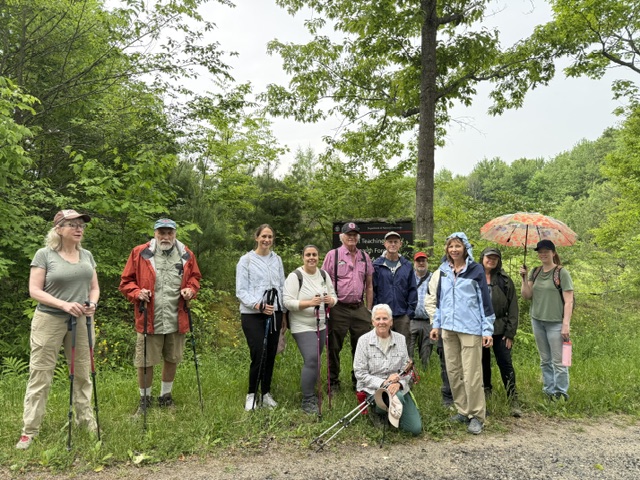
Thirteen hikers, including two first timers with the Ithaca Hiking Club, met at the north side of Arnot Teaching and Research Forest in Newfield. This is a 4,200 acre parcel that serves as the largest actively managed forest owned by Cornell, providing a place for Cornell faculty and students to conduct research and educational activities. The forest consists mostly of mixed hardwoods over hilly terrain, and is home to one of two maple syrup research facilities operated by the Cornell Maple Program. We hiked out and back along a dirt road, hiking up and down hills in
two counties – Tompkins and Schuyler. There were lovely wild flowers and lush vegetation on both sides of the road. The weather when we began was ominous and indeed, we were rained on for approximately 20 minutes early in our walk. Luckily, it didn’t last long and we had sunshine by the end of our hike, drying us all out.
Photos by Nina F.
Sunday, June 7
Hammond Hill, Dryden, From Time Square
Hike report by Leigh Ann
Twenty-four hikers and three dogs set out from Times Square on Hammond Hill (junction of Star Stanton and Canaan Roads) for this new hike. It’s a new hike because Star Stanton now is passable to cars and fairly wide from where it turns gravel to Times Square. This means that we can get to trails we normally wouldn’t have time to in a two-hour hike.
There’s parking for 6-7 cars right at Times Square, but lots more good parking coming up to the top of the last hill on Star Stanton, over on the right-hand side. Our route was Yellow 4 south, to Red 4 east, to Red 1 south (through a beautiful acre or two of hemlocks), to Red 2 north (through a beautiful acre or two of lady ferns in the undergrowth), to Yellow 4 north/west back to the cars.
This approximately 4.2-mile route had about 500 feet of elevation gain, and it took us 1 hour 52 minutes. It was very pleasant for a shady summer hike and could be nice even on a hot day.
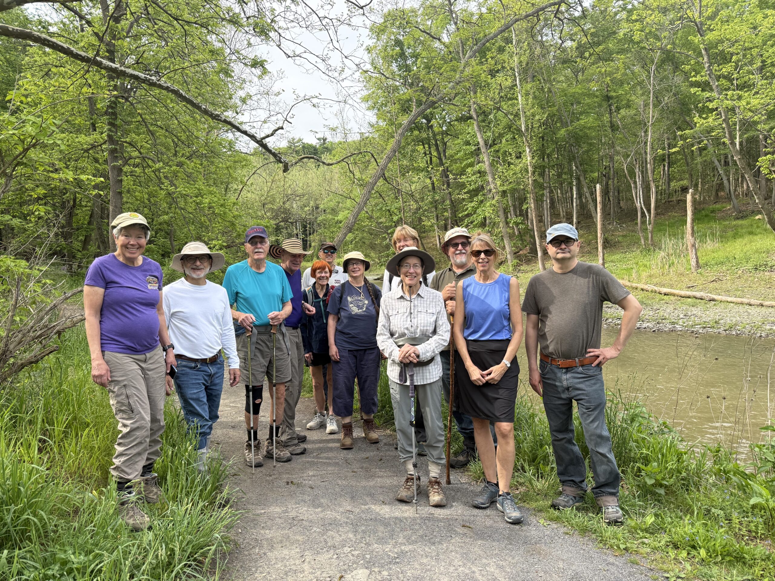
Six Mile Creek, Mulholland Wildflower Preserve and Wells Falls, Ithaca
Hike report by Nina F.
13 hikers and zero dogs meet at the Mulholland Wildflower Preserve on a lovely spring day to hike through the preserve and wooded trails. This is hike #1 on the Ithaca Hikers list.
We walked through the Elizabeth Mulholland Preserve along Six Mile Creek. This watershed is the primary source of drinking water for Ithaca and surrounding communities and is designated a unique natural area. It’s a picturesque trail bordered by spring wildflowers (both native and non-native) and pine trees. From the lower, creek-side path, we climbed uphill to a wooded trail leading to an old service road with views over the lower reservoir. After walking the service road for a bit, we backtracked and circled back down to the preserve. After returning to the parking area, some hikers continued the hike across Giles street to the area known as “Businessman’s lunch,” or officially Wells Falls, where we observed the old and decaying remnants of industrial structures next to the waterfall, as well as the sheer cliff faces on the opposite side of the creek.
Photos by Nina F.
Sunday, May 31
Lime Hollow Nature Center, Cortland
Hike report by Claire L.
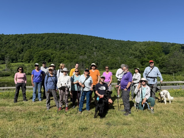
23 hikers met at the Gracie Road parking lot in Cortland. For 5 hikers it was their first time hiking at Lime Hollow.
It was a beautiful sunny and warm morning with a gentle breeze throughout most of the hike.
It was my first time leading a hike and we left 10 minutes late at 9:50 am after the group picture.
We headed west on the Lehigh Valley Trail, went north on the Fen Way Loop to reach the High Vista Loop with a view of Baldwin Pond. We returned to the Lehigh Valley Trail and went back east up to the Fen Way Loop where this time went south. The path was lined with Mayapples and skunk cabbages as we approached the Fen Way bridge.
After the boardwalk, we had a short steep climb as we connected to the Mill Pond Loop. We saw the deer exclosure which is “an area surrounded by fencing intended to keep deer out but allows other animals in to study the impacts that deer browsing has on the forest flora.” This was an Eagle Scout project built in 2013. Several board walks and bridges at Lime Hollow were Eagle Scout projects.
We completed the Mill Pond Loop and took the Bog Spur trail to Gracie Road. After walking along the road for just a few minutes we crossed it to get back to the East side to hike the Maple Run Trail. Some took the Esker Connector shortcut while others went all the way to the Chicago Bog which was probably the highlight of the hike. We finished the hike on the East Lehigh Valley trail and reached the parking lot at 11:40 am.
We walked 4.27 miles with an elevation gain of 467 feet.
There were many good conversations along the way and we all appreciated this beautiful spring morning.
We were treated to good weather despite a few stray raindrops, and the group was the perfect mixture of congeniality and curiosity. Nature provided the beauty and wonders, including a fisher sighted in pursuit of a creature high up in the tree (we think, perhaps a squirrel who could be heard shortly after), a tree frog, a pair of ravens sitting on a branch so close we could almost reach out and touch them, and some cool-looking fungi that resembled poached eggs. Fortunately, we just so happened to have a mycologist on hand who identified them as Reishi mushrooms! Merlin also picked up several birds, including a red-eyed vireo, black-throated green warbler, black-capped chickadee, tufted titmouse, and northern yellow warbler. These provided the sound section for our wonderful trek!
Photos by Maria M.
Saturday, May 23
Dryden Rail Trail from Dryden Village
Hike report by Nancy H.
Ten intrepid hikers and one enthusiastic dog met a the Kenny Van Sickle Ballfield parking lot in Dryden for a rainy out-and-back walk on the Dryden Rail Trail. There was light rain falling and a bit of a breeze as we set out toward Freeville, and these persisted for the entire hike. No one seemed to mind though, thanks to good company and interesting conversation. We weren’t even the only ones on the trail, as we met a bird-watching club who were hoping, I was told, to spot a night heron.
We returned to our cars at the two-hour mark, having walked 5-ish miles (I forgot to log the hike on my fitness tracker).
Photos by Nancy H.
Sunday, May 24
Shindagin Hollow Road east to South Road on the FLT, Brooktondale
Hike report by Kathy K.
Lovely out and back hike through the woods on the FLT from the south end of Shindagin Hollow Road east to South Road. 4.3 miles round trip in a bit under 2 hours at a leisurely steady pace (Leanne was out of town so no super- fast group!).
The first half was near the creek and we could hear the water! The trail was easy to follow and although somewhat wet after a lot of rain, was easy walking, gentle uphills. I’d forgotten how pretty this hike is- thanks Jim for putting it on the schedule!
The trillium are still in bloom on the west side of Shindagin Hollow for the last ½ mile at the south end- worth the trip in the next few days.
Nine hikers turned up just as the rain stopped! Photo below (overlooking Shindagin Falls which cascades down to the left) is missing Roger and Casey, and Mark’s son Isaac.
This is an ever-changing rock “sculpture” near the South Road end of our hike: