Wednesday, July 9
Monkey Run Natural Area, south side of Fall Creek, Varna
Hike report by Jim
Nine hikers and one dog met at the dead end of Monkey Run Rd for a looping hike of the red blazed trails on the Cayuga Trail on the south side of Fall Creek. This is hike #6-1 on our list of regular hikes: https://www.ithacahikers.com/hike-6.
The area of this hike is included in the FLTC trail map ” The Cayuga Trail”, available in paper or electronic formats at: https://fingerlakestrail.org/…/purchase-individual-maps/
The day was sunny and increasingly warmer as the hike went on. The group hiked in a westerly direction from Monkey Run Rd, stopping at the first trail intersection for a group photo. This section of the hike had the only real mud that I saw on the hike.
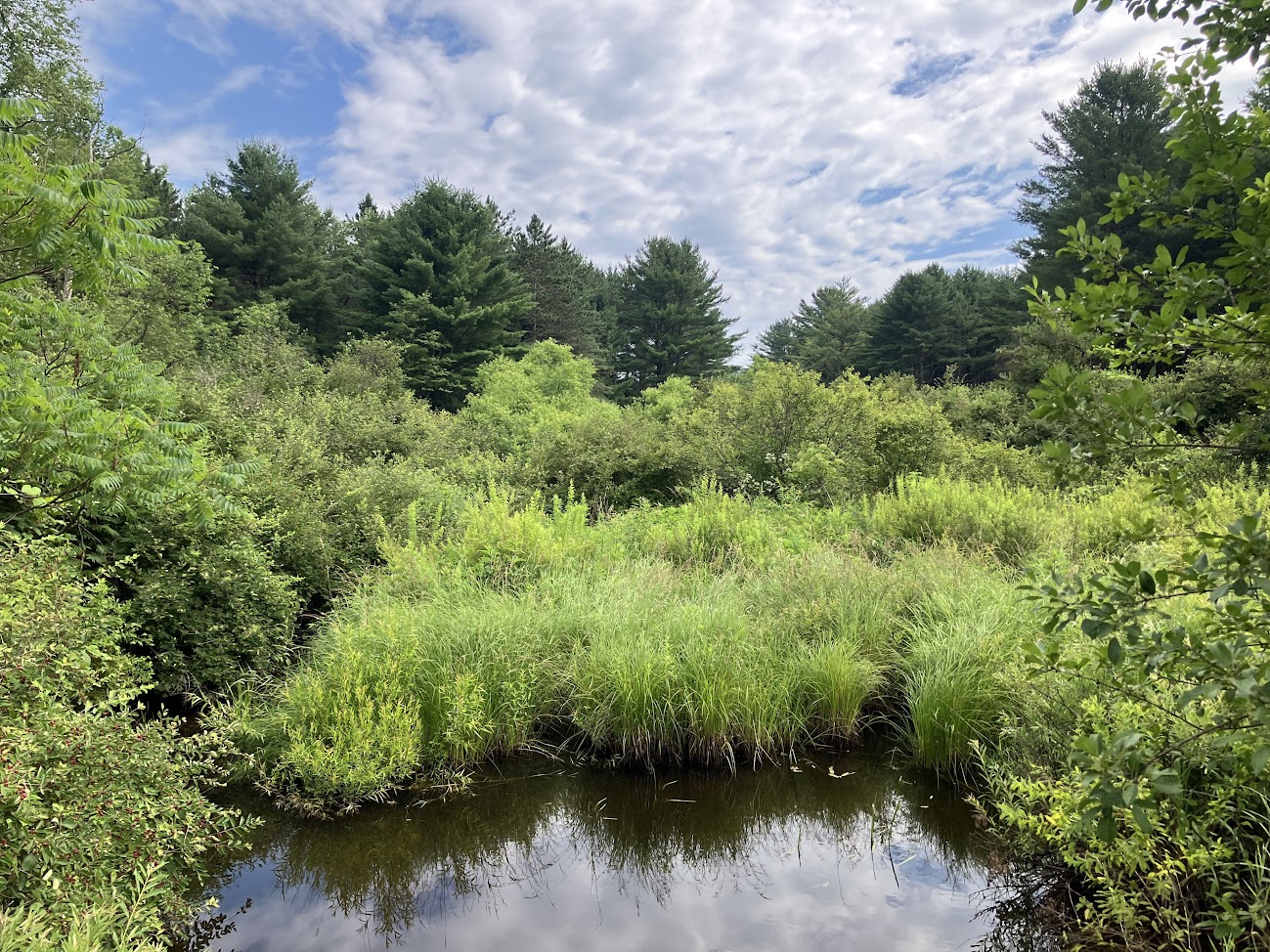
Leaving the woods the group crossed the Taiby Flats fields before returning to the forested footpath to hike along the southerly side of Fall Creek. We stopped at one or two spots along the route to walk to the shoreline, or to observe the creek from elevated bluffs.
This route took us back to lower elevations that again followed the creek shoreline. After a few minutes on this section of trail I modified our route and left the creek to take another elevated trail that passed a trail register box where we stopped while I made a short logbook entry.
The group arrived at the Dryden Rail Trail, which we walked back to the vehicles, arriving at the parking area about ten minutes sooner than I had originally planned
A warm welcome to Susan on her first hike with the group!
Our group encountered no other hikers during this hike
Thanks to everyone who came out on a warm day for this hike!


Saturday, July 12
Finger Lakes Trail from Comfort Road through Danby State Forest
Hike report by Jim
Fifteen hikers met at the junction of Comfort and Bald Hill Rds in the Town of Danby for an out and back hike on the FLT. This hike took place entirely on FLT map sheet M17; map sheets may be purchased in paper or electronic formats at: https://fingerlakestrail.org/store/maps-and-gps/purchase-individual-maps/. Same of the map sheets helps to defray on-going trail maintenance costs.
This is hike # 18 on our list of regular hike locations: https://www.ithacahikers.com/hike-18.
The hikers left the parking lot and made a short road walk down Bald Hill Rd to the FLT road crossing there.
The day was warm and humid, and everything along the trail was in full bloom, with the undergrowth along the trail crowding into the footpath. Despite recent rains the trail was in generally good shape, the group encountering little in the way of mud. Lots of slick rocks and roots due to recent rains, so we were picking our way along the trail on the downhill first portion of the hike. We encountered two blow-down trees that weren’t there when I recently pre-hiked this route. One sizeable tree was lengthwise on the footpath and required a bushwhack to get around; the other was only a large step-over. Trail conditions report made to the FLTC.
We encountered one couple on the trail, and the Chestnut Lean-to was occupied so we didn’t make a stop there. Otherwise, we had the trail to ourselves.
The group made it to Michigan Hollow Rd and Dianes Crossing before turning around. Leigh Ann led the group on the return leg of the hike, with the group crossing Blad Hill Rd and continuing on the FLT to Comfort Rd with a short road walk back to the cars at the end of the hike.
For those hikers tracking their FLT miles for a 2025 FLT 50 or FLT100 patch, today’s mileage per the map sheet was 3.4 miles.


Sunday, July 13
Hammond Hill State Forest from Route 38 south of Dryden
Hike report by Nina
Eight hikers and two dogs gathered on a muggy morning at Hammond Hill State Forest to walk a stretch of the FLT. This is hike #31-3 on the Ithaca Hikers website. Although the sky was dark and there was thunder in the distance, we did not encounter rain on our two hour out and back hike.
The dirt road leaving the parking lot has a steep hill, but once we were on the FLT the hike had only gentle changes in elevation. There are no significant landmarks or vistas on the trail, but there is a lovely hemlock forest that provided cooler temperatures, and the trail is well marked and reasonably maintained.
At the start of the hike, we passed a horse-back rider, who said she’s never seen another person on that stretch of trail, and later a few mountain bikers rode by. Otherwise our only other company was a small toad along the pathway.


