Wednesday, June 10
Excelsior Glen, Burdett
Hike report by Mark Sussman
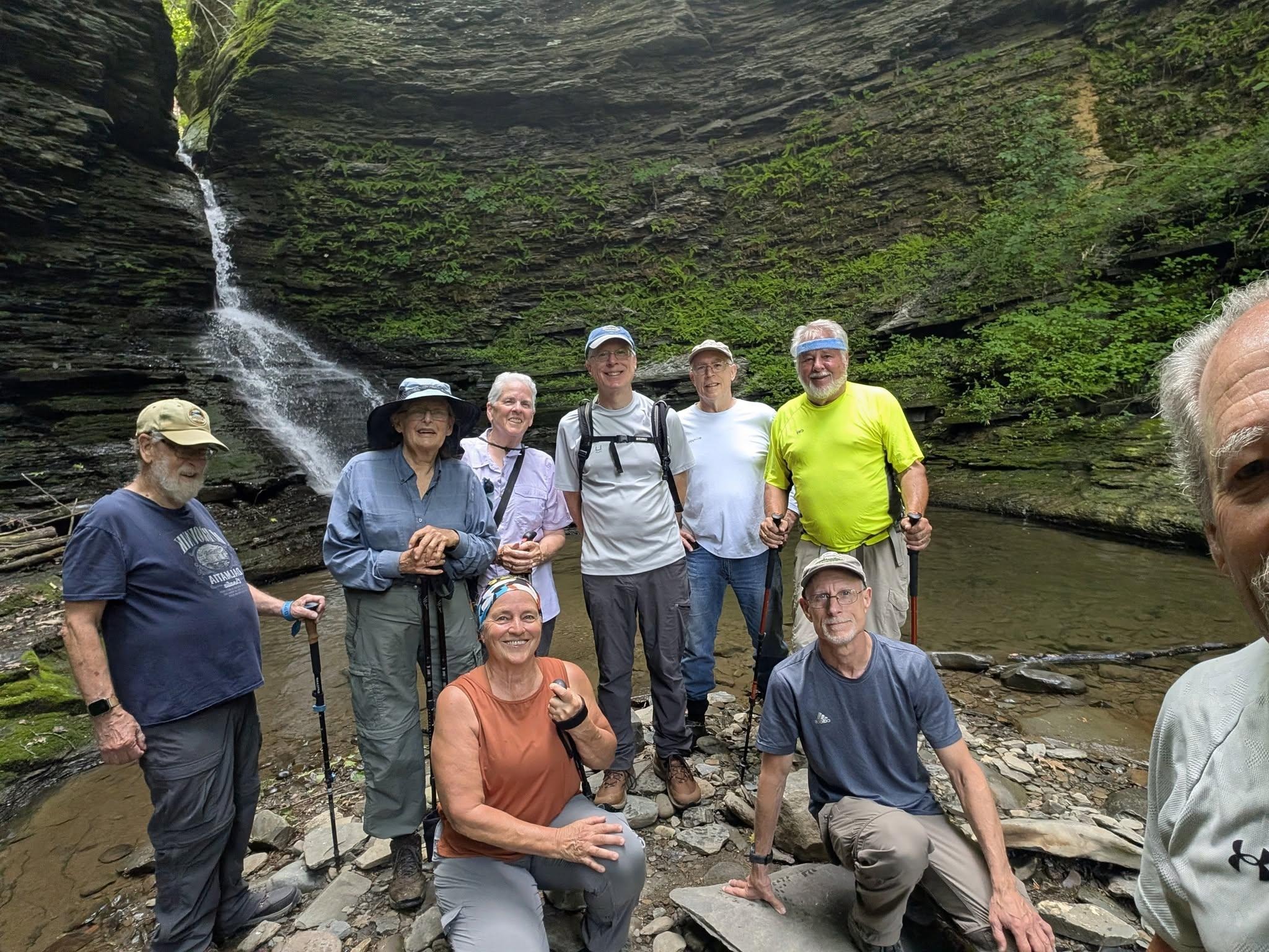
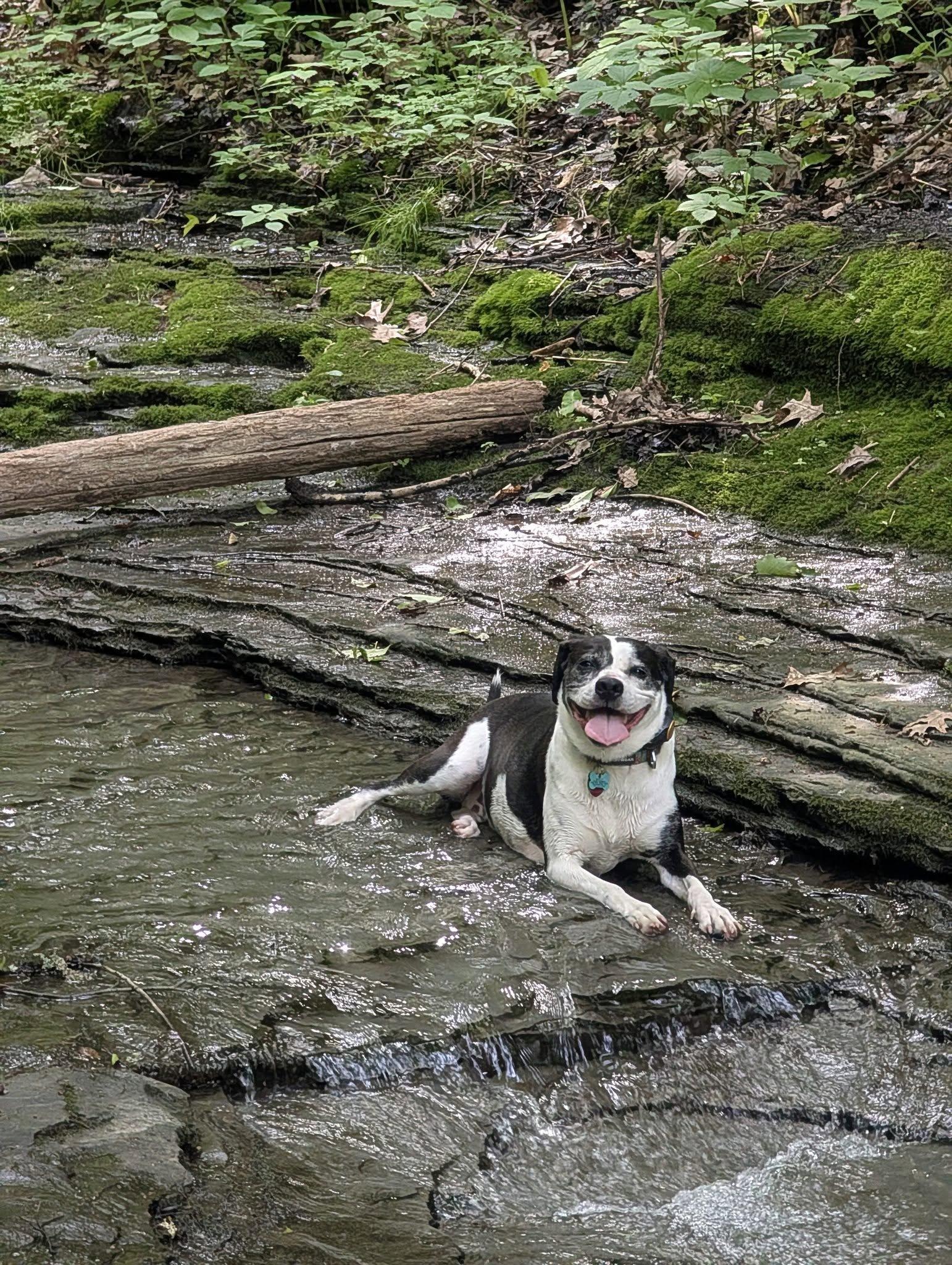
On Wednesday, June 10,nine hikers and one dog met on Jolly Road in Burdett to explore some of the trails in Excelsior Glen. The main trail through the Glen is the Finger Lakes Trail, but there are some additional side trails that are worth exploring. The FLT crosses the Glen creek. The creek crossing is no problem, and there is even a rope to help you across. However, the rocks on the far side are extremely slippery. I brought a box of gravel to spread on the slippery rocks to partially ameliorate the issue. It definitely helped.
We continued on the FLT to the bottom of the Glen, which is near NYS 414. A pretty little spot and waterfall were enjoyed by the group.
We then turned around and made our way back to the top up the steep trail. By then it was getting pretty warm, so the going was slow. We again crossed the creek and wandered down one of the side trails to capture a peek of the highest waterfall in the Glen. To get down to that falls requires some further hiking and then making your way up the stream. The group decided against that, but some said they would like to come back to try to do that.
The hike was just 2.7 miles with 800 feet of elevation gain. With the tricky sections slowing the group down we finished 10 minutes before the typical 2 hour duration.
Saturday, June 13
Lindsay Parsons Preserve, West Danby
Hike report by Nina F.
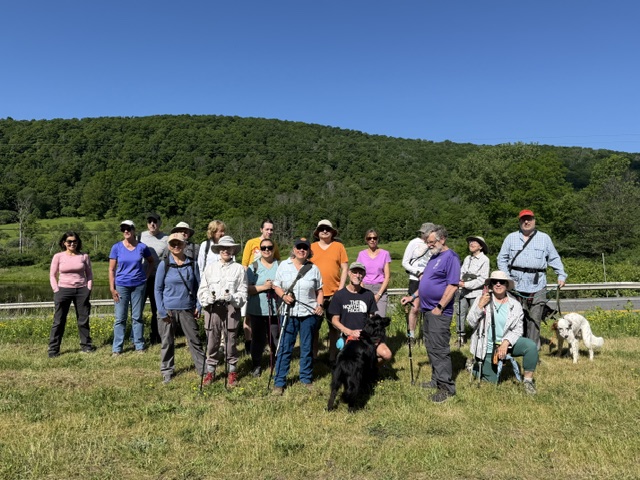
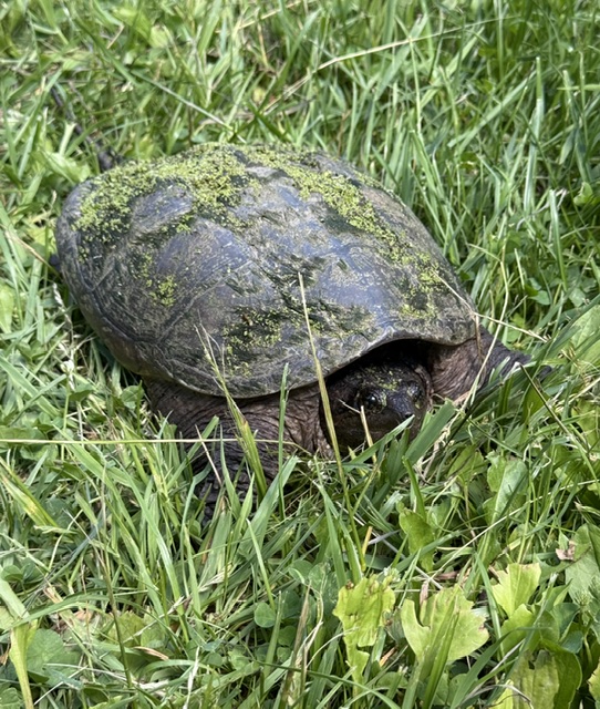
21 hikers and 4 dogs met at Lindsay-Parsons Preserve on what started out as a cool morning, but ended up rather warm by the end of the hike! This hike traverses several landscape types, including spacious fields, lovely marshes and ponds, and dense, hilly woods. We were lucky to see a variety of wildlife on our outing, including a garter snake with a very fat belly from a recent meal, a large snapping turtle, and hundreds of toadlets crossing the hiking path, a sight many of us had never seen before. Despite a couple of wrong turns on this pretty but complex trail system, we ended the hike at two hours on the nose!


Sunday, June 14
Woodard Road east into upper Robert Treman SP, Enfield
Hike report by Leigh Ann
Nineteen hikers met at the Woodard Rd. junction with the FLT for this hike. I planned this Treman State Park route for trails that are closed in the winter (Red Pine and Gorge) so we could get different views from usual. So, this hike is a new, third easterly hike from this meet-up spot.
The route follows the FLT east to the CCC Trail. Then it takes the CCC Trail to the mill at the Upper Treman parking lot. From there, we go east to the Red Pine Trail and take that to where it ends at the Gorge Trail east of Lucifer Falls. The Red Pine Trail used to have washed-out steps that look like they were removed last winter. At the Gorge Trail, we get our first view of the gorge, which we’ve heard but not seen all the way along the Red Pine Trail. We turn left and head east on the Gorge Trail for about a mile, through the upper Treman glen. We turn around at the steps up the first major incline going east on the Gorge Trail. Then we return to the mill through all the fantastic waterfalls of Upper Treman that we bypassed on the Red Pine Trail coming in.
At this point, there’s often about 10-15 minutes to enjoy standing around and having a visit near the mill waterfall before we retrace our steps to the cars on the CCC Trail and FLT. On a nice, flat-white-sky day like Sunday, this pause is lovely.
This 4.08-mile route has about 650 feet of elevation gain but has an almost two-mile stretch in the Treman glen that is nearly flat. This isn’t a hike that needs to be rushed to end up back at the cars in two hours, and that’s good because the Upper Treman gorge is a revelation to anyone who hasn’t seen it before.


