Saturday, July 4
Monkey Run from Hanshaw Road
Hike report by Nina F.
Eleven hikers and two dogs met on an extremely hot and humid Independence Day to hike Monkey Run trail. This trail is part of the 550 acre Monkey Run Natural Area that forms a long corridor protecting Fall Creek on its route to Cayuga Lake. The trail follows the creek from the rims of forested banks and, at creek level, through rich floodplain forest and wet meadows. We had some lovely views from on top of the bluffs, and also wound our way down to the Creek (where the dogs cooled off on such a hot day).Though there was rain in some areas prior to our hike, and we felt raindrops as we returned to the parking lot, we managed to miss being rained on. Despite temperatures approaching the 90s before the end of the hike, an occasional strong breeze helped make the hike bearable.


Sunday, July 5
Upper Buttermilk Falls State Park from Yaple Road
Hike report by Leigh Ann
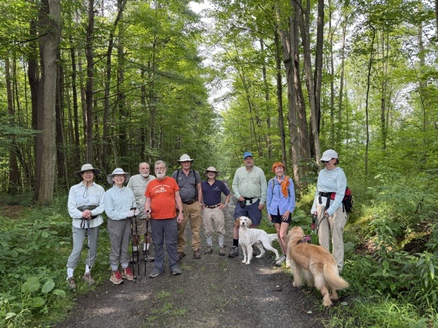
Seventeen hikers and four dogs on leashes met where the Buttermilk Spur Trail crosses Yaple Rd. for this out-and-back hike into Buttermilk Falls State Park. The previous day I pre-hiked the original route for this hike, which led around the east side of Treman Lake and up to La Tourelle and found that it is not as appealing as it used to be. The trail is more overgrown than in years past, and there are new Danger signs along the route. For example, there is one Danger sign at the start of the spur trail up to La Tourelle and another on the trail leading down to the dam from the east. My guess is that the park is trying to get people to use the trail on the west side of the lake for out-and-back hikes because the footbridge at the northern end of the park remains washed out.
So, this Sunday hike was an out-and-back from the meet-up spot to the bear trail to King Road. From King Road, people went various ways as it suited them. Most of the group chose to go down the gorge trail, turn around at the top of the very long stairs beside the lower falls, cross the creek at the mid-way foot bridge, and return to King Road on the rim trail. Some of the group chose to go all the way down to the bottom of the lower falls to get more steps. Others chose to hike just on the rim trail.
Most of the group returned to the cars in two hours, after about 4.25 miles and 600 feet of elevation gain. Although the weather was cooler than the previous day, it was more humid, and it felt like a drippy sauna the whole way.


