Hello Hikers!
Wed Nov 28
A walk through Cornell’s natural areas along Fall Creek — the arboretum, Mundy Wildflower Garden, botanical garden and Beebe Lake
 Another raw morning, but this time we had an exceptionally beautiful snowfall to divert us

 These winter wonderland-type scenes usually don’t last very long — the snow starts to fall off the trees and bushes of its own weight, or the wind comes up and blows it off


 We finished up by going into the Cornell Dairy Bar for ice cream — by the time we came out, the beautiful draping of snow was already disappearing from the landscape.
Official head count: 11H
Sat Dec 1
Taughannock Falls SP — Gorge Trail and North Rim Trail


 Official head count: 25H, six D
Sun Dec 2
Monkey Run Natural Area, south side of Fall Creek — Varna

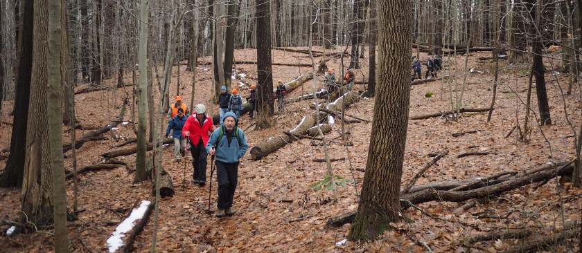


A couple of hours before hike time, Tiger and I were trying to get a handle on how likely it was to rain — one weather service said it was almost guaranteed, another said it was probable, and a third said it would not rain.


After 45 minutes on the trail, it did start to rain — a little hard at a few points but overall it was tolerable, and somewhat mild out — I thought it was nice. After a while, the rain stopped.

The trail was very wet in the first half of the hike — in the second half, the trail was actually flooded in spots and we had to inch our way along past the bushes growing at the edge of the path

It got wetter and wetter as we progressed — finally we hit a swollen stream we couldn’t find a way across, and we had to bushwhack our way up the hill

We came back on the old railroad right of way up the hill that parallels Fall Creek — that was pretty much flooded too
 I got my shoes soaked but somehow I didn’t get my socks wet — overall, I had a great time
Official head count: 19H, four D


