Wednesday, October 21
Hoxie Gorge, Cortland County
Hike report by Jim
Eight hikers met in the parking lot near the end of Hoxie Gorge Rd in Cortland County for an out and back hike on the FLT through Hoxie Gorge State Forest.
This is hike # 60-2 on our list of regular hike locations: hike #60 – ithacahikers.
Today’s hike took place entirely on FLT map sheet M20. Map sheets are available for purchase in paper or electronic formats from the FLTC at: Purchase Individual Maps – Finger Lakes Trail Conference . Sale of the maps helps to defray the on-going costs associated with trail maintenance.
The morning was cold and the undergrowth coated with frost when I arrived at the parking area. The skies were clear and the sun filtered through the remaining leaves in the forest canopy.
In the past we normally start this hike by following the blue blazed trail from near the parking lot that follows the stream bed, but the last couple of times we’ve done that hike we’ve found part of the blue blazed trail (which is a former part of the FLT footpath before a trail re-route) damaged due to blow downs. So today I had the group hike the SUNY Cortland McDermott Nature Trail to its junction with the current FLT footpath.
I found the trails today to be largely obscured due to a layer of freshly fallen leaves obscuring the footpath. So, I had to pay close attention to the blazes while other hikers called out some blazes they saw before I did (thanks, Mary M!)
Much of this section of the FLT consists of narrow tread criss crossed with many roots which were concealed under the leaves. A couple of hikers fell along the way because of this, but no one was hurt.
A decent amount of water was flowing in the creeks, but it was not so deep as to cause problems fording the streams.
At the junction of the McDermott Nature Trail and the FLT we found the footpath to be heavily washed out since the last time we hiked the area. Hopefully this damage will be repaired in the future.
We made it to the Hoxie Gorge lean-to in decent time and skipped hiking beyond the lean-to due to the recent loss of the open fields beyond the lean-to to planned future development. On the return leg of the hike found ourselves with much time to spare, so we took the blue blazed side trail I had avoided on the outbound leg of the hike. We found that the damaged portion of that trail section has been completely eliminated and that section of the blue blazed trail has been re-routed to co-locate with the McDermott Nature Trail. The remaining portion of the blue blazed trail does follow the creek bed for a short while and is worth checking out.
The group made it back to our cars 15 minutes early, but no one seemed to mind.
For those hikers tracking their FLT miles for an FLT50 or FLT100 patch todays hike included 1.8 FLT miles. I’m not sure of the blue blazed trail counts towards FLT miles so that section is not included in the mileage totals.

Saturday, October 24
Roy H Park Preserve to Hammond Hill State Forest, Dryden
Hike report by Leigh Ann
Sixteen hikers and no dogs were on today’s hike. This was on another glorious near-peak day. When we headed out from the northern trailhead at Roy H. Park Preserve, thick frost covered the shadowy areas. Then we entered the woods, where brightly colored leaves made it look like the trees were on fire.
On the connector trail between the boardwalk and N. Hammond Hill Rd., red trail markers were somewhat scarce, and there was a big tree down exactly in such a way that it looked like a trail reroute. Other than that, the route was pretty easy to follow.
We hiked the connector trail to N. Hammond Hill Rd., headed east on Yellow 1, then took Yellow 6 south to Blue 1, which we took southwest to the seasonal part of Hammond Hill Rd. Then we headed north on Hammond Hill Rd., and retraced our steps on the connector trail and boardwalk to the cars.
This hike took 2 hours 35 minutes to do, was about 4.5 miles and had about 650 feet of elevation gain. We saw no hunters while on the trail.


Sunday, October 25
Bock Harvey Forest Preserve and Riemen Woods, Enfield
Hike report by Sarah S.
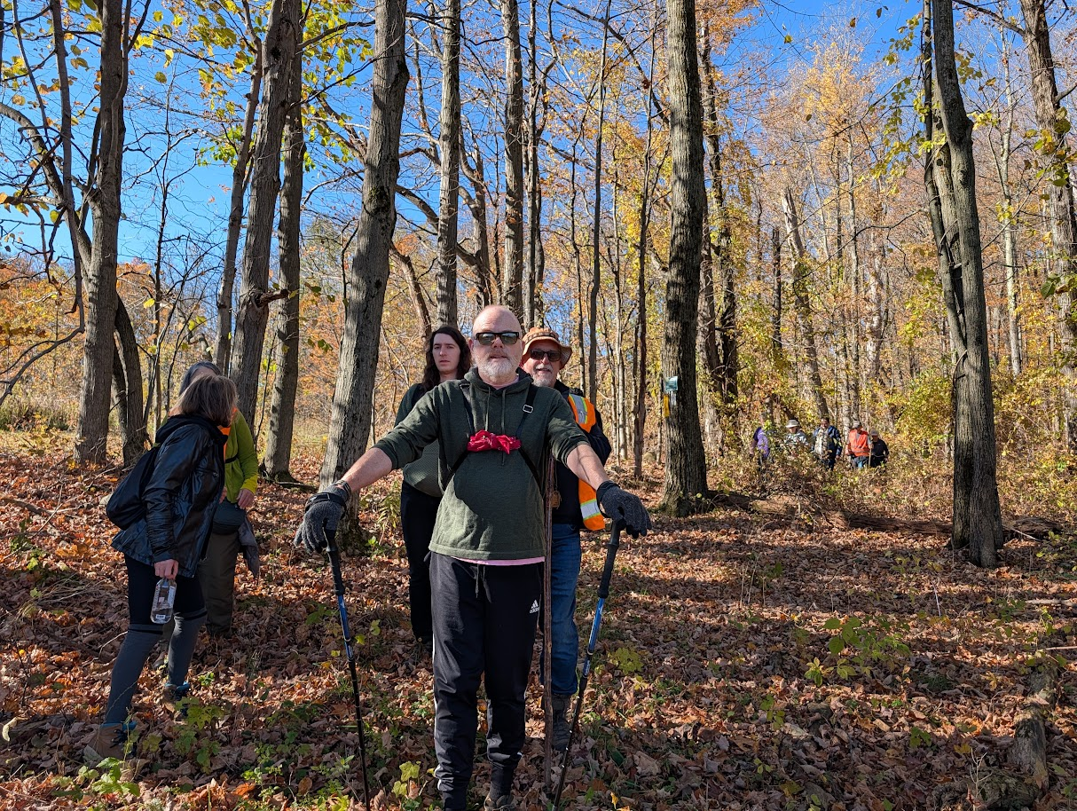
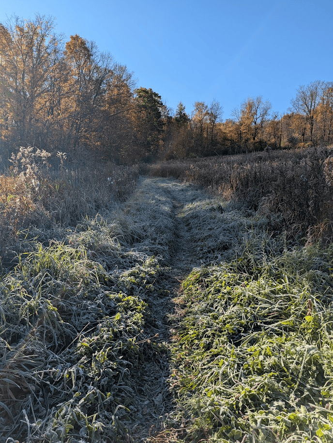
14 Hikers arrived at the Bock-Harvey Forest Preserve parking lot to find it already filled to the brim with cars. Bundled in layers, we set out in chilly 38 F. temps, heading up the main trail from the parking lot. We quickly overtook the kiosk and emerged out into a field, where we were immediately bathed in bright sun and treated to blue skies. The field was half in sun and half shrouded in frost. Several hikers noted a stark temperature change from one section to the next. The fields were filled with goldenrod (and other wildflowers) that had faded to a brown-gray and were flecked by the bursting white of milkweed pods.
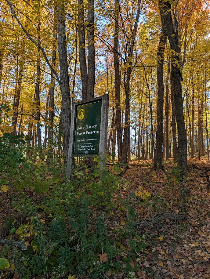
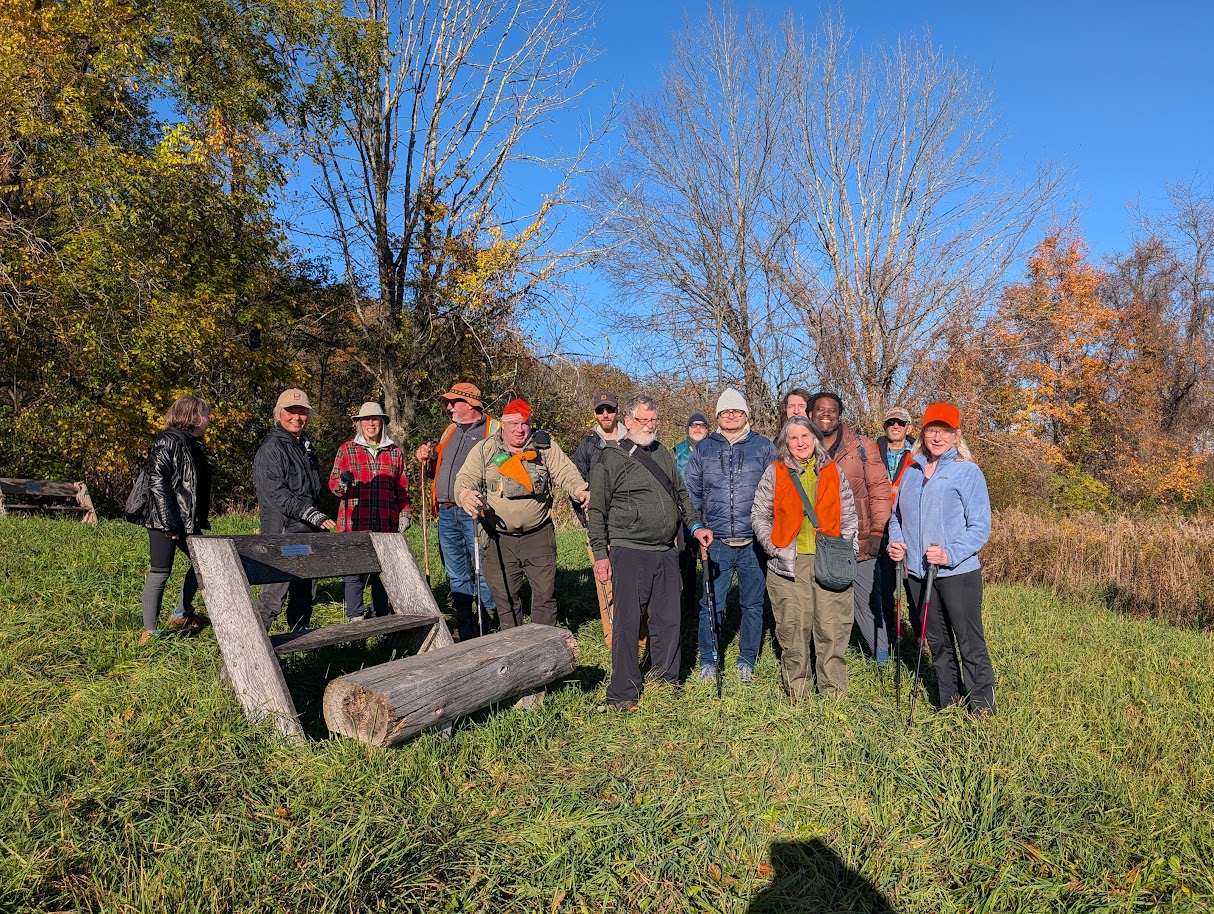
We popped out into a clearing after our first incline of the morning to find our 15th hiker waiting for us at the Lean-to. (We never figured out why so many cars were in the lot to start!) We paused at a bench/overlook to take our usual group photo, and admired the last vestiges of fall foliage. Deep in conversation, the group was urged along past the lean-to and onto the trail. We followed some heavily leafed up and downs and emerged across a small wooden footbridge onto Porter Road. Turning right, we walked down the road a bit to pick up the Finger Lakes Trail (FLT) on the left.
We hiked past some skeleton trees and then up…. and… up…. and… up….and…up…. until we finally reached the Riemen Woods Bivouac area. Many of us chose to shed a layer, having sufficiently warmed up. We made a hairpin turn and paraded back down a gentler sloped trail, with leaves swirling around us as we went. We came back out on Porter Road. This time we turned left and quickly right to trek back across the wooden footbridge to the FLT.
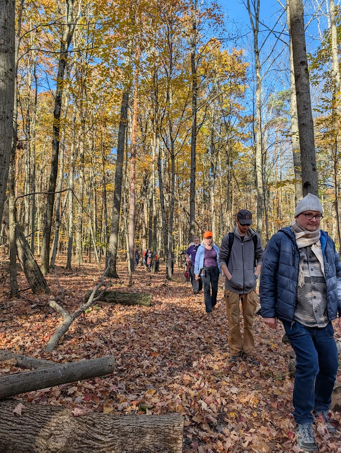
We followed the FLT down past the blue trail and continued on into the Old Growth forest boasted by the Bock-Harvey Preserve. We turned left onto the yellow trail, and looped around. Admittedly, the yellow blazes were really hard to follow with so many yellow leaves all around! We came upon the Pondering Log and our long-time hiker and group organizer shared some of the history of the Bock-Harvey land; including that it has been in the family for many many generations before being gifted to the Land Trust. As we continued on the yellow path and joined back up with the FLT we contemplated just how much time those many generations could span and decided it must be a lot, indeed (The Finger Lakes Land Trust Website suggests early 1800s).
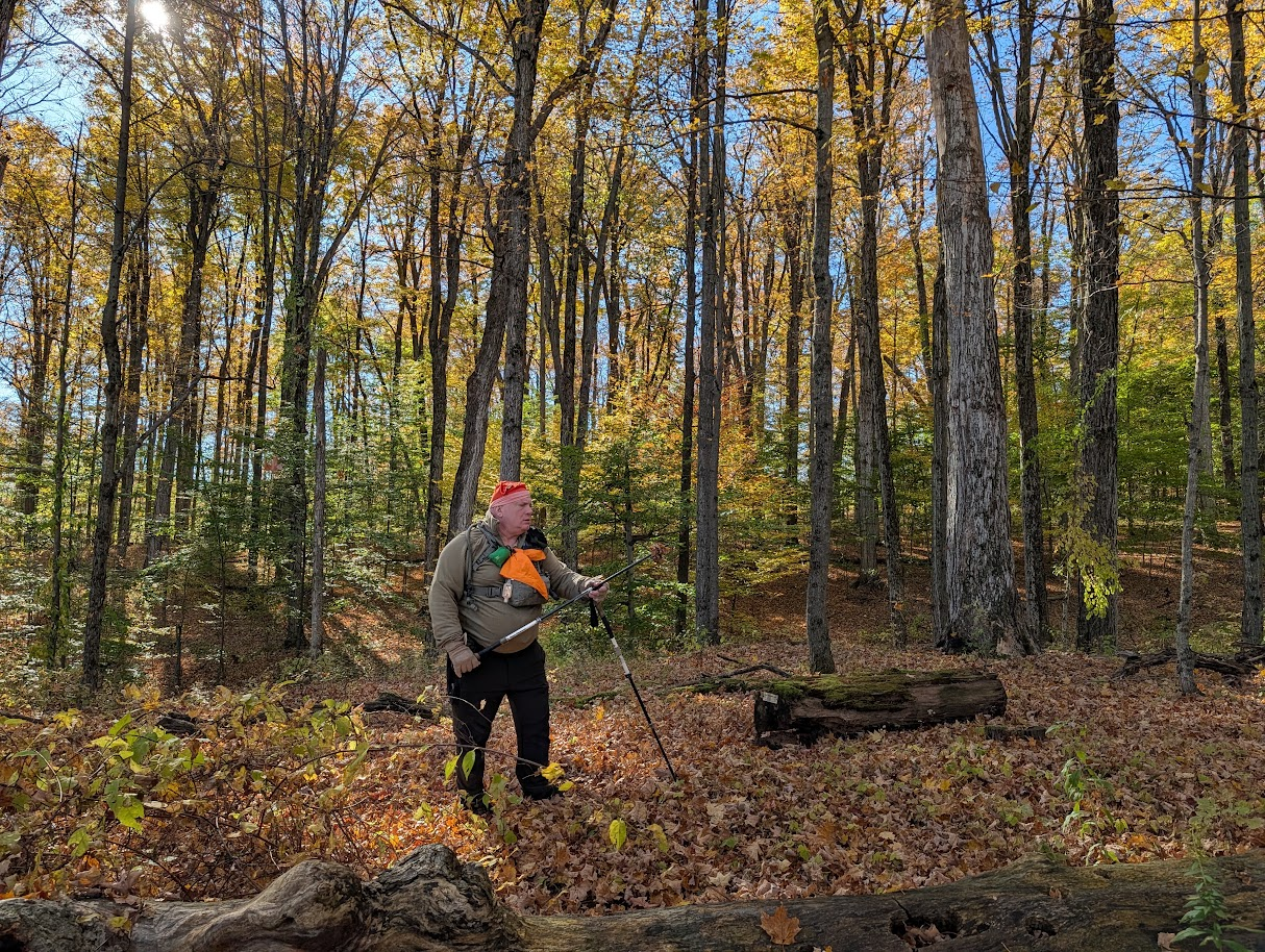
The FLT runs half the perimeter of another field and sent us into a lovely twisty wooded section before tricking us (or at least the hike leader) into stepping ankle deep in mud. We trudged along and finally emerged on Rowell Hill Road. At this point two hikers decided to take a 7 minute road walk back to their cars, while the rest of us braved trudging back through the mud. We retraced our steps back to the yellow trail, turned right onto the main trail, and back to the cars. We finished the hike right on time today with a total mileage of about 4 miles.