Wednesday, November 11
Spur trail from upper Lick Brook/Townline Road to upper Buttermilk Falls SP/Yaple Road
Hike report by Jim
Todays scheduled hike underwent several changes before hike day. Originally I had scheduled our Deputron Hollow roadwalk, until Margaret and I pre-hiked it last week and found unsafe road conditions. I replaced that hike on the schedule with the Buttermilk Falls spur trail hike, which is our hike # 11. Tuesday night while looking at the FLT map sheet for that hike, I noticed that part of that route is now subject to a seasonal hunting closure. I confirmed that closure on the FLTC trail conditions site. So what we ended up with today was a hybrid hike that included a mix of the Sweedler and Thayer Preserve trails.
Fifteen hikers and one dog met on Townline Rd for this hike, which doesn’t exactly match any of the usual hikes on our hikes list. The closest of our regular hikes might be hike # 7. Weather conditions were on the cool side, with some sun mixed in. Always a good omen for a hike in the Ithaca area this late in the year.
After the group picture, we started the hike with the red and blue blazed loop in the Thayer Preserve. Returning to Townline Rd, we entered the Sweedler Preserve and hiked the FLT to the flatlands and Lick Brook falls. There wasn’t a lot of water flowing over the falls today, but it wasn’t completely dry either. Trail conditions on the slopes were good, although the leaf cover on the treadway was slippery in spots.
We continued on the FLT as far as the railroad trestle, where we encountered the daily train actually crossing the trestle as well as a work crew doing some repairs to the trestle itself. This activity seemed to interest some of the group more than the natural sights around us.
After that, the group reversed course and returned to Townline Rd via the blue blazed stairs trail.
We had the trails to ourselves today with the exception of Ithaca Hiker Dave R and his family as well as a solitary trail runner.
Warm welcome to Jeremiah on his first hike with the group!
Today’s hike took place entirely on FLT map sheet M17. FLT map sheets may be purchased in paper or electronic formats at : Purchase Individual Maps – Finger Lakes Trail Conference. Sale of the map sheets helps to defray the ongoing costs of trail maintenance.
For those hikers tracking their FLT miles for a 2026 FLT50/ 100 patch, todays hike included 2 FLT miles.

Saturday, November 14
Alex & Michele Gonzalez Hiking Sanctuary & Preserve, Virgil
Hike report by Sarah Shank
Fifteen hikers left their houses to find the Alex & Michelle Hiking Sanctuary blanketed by 3-4″ of wet snow. We found that snow changes everything! It was very beautiful, but slow going, so we didn’t get as much distance in. The blazes were sometimes snow covered and hard to see, and many boughs were weighed down with snow in the middle of the trail. There was so much ducking and maneuvering, it could have qualified as a limbo!
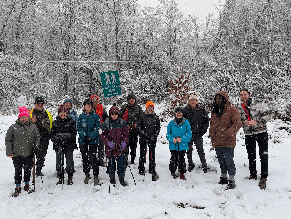
We began at the FLT sign at Daisy Hollow Road, following orange blazes parallel to the road. After crossing the road, we hopped over a ditch filled with water and scrambled up the brief incline to the kiosk. We headed clockwise into the forest, following the orange trail to five point junction. The ambiance at the junction was decidedly spooky. Nevertheless we waited there while everyone caught up.
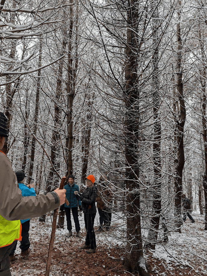
From five point junction, we followed the red trail through a tunnel of snow laden branches to the powerline crossing, and then headed up, and up, getting the steep uphill section of the trail out of the way early.
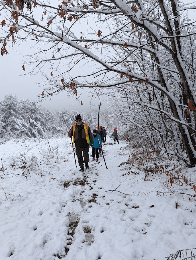
The red trail then merged with the blue trail. We paused here so everyone could catch up and see the view replete with two adirondack chairs. Next time we’ll bring our hot chocolate and soup in thermoses. The snow underfoot and overhead made for a hushed beginning to the hike. Perhaps the normal chatter was dampened by all that snow.
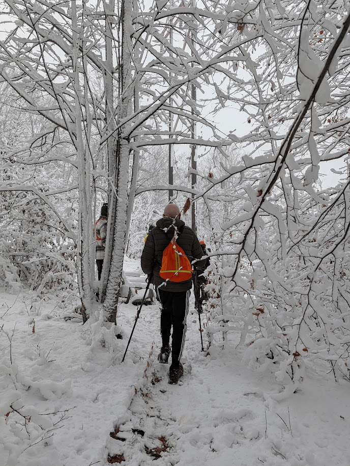
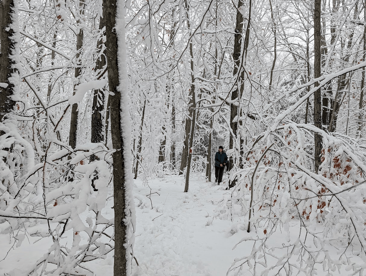
We followed the red/blue section of the trail, and merged into a very soupy red section. We then picked up the orange trail to connect with the yellow blazed Crystal Springs trail. We definitely saw the spring, but had a hard time finding the yellow blazes for all the snow. After a little floundering we found our way back to the red trail and headed down, catching back up with the orange blazes. We crossed over one footbridge and immediately crossed over another to continue along the orange trail.
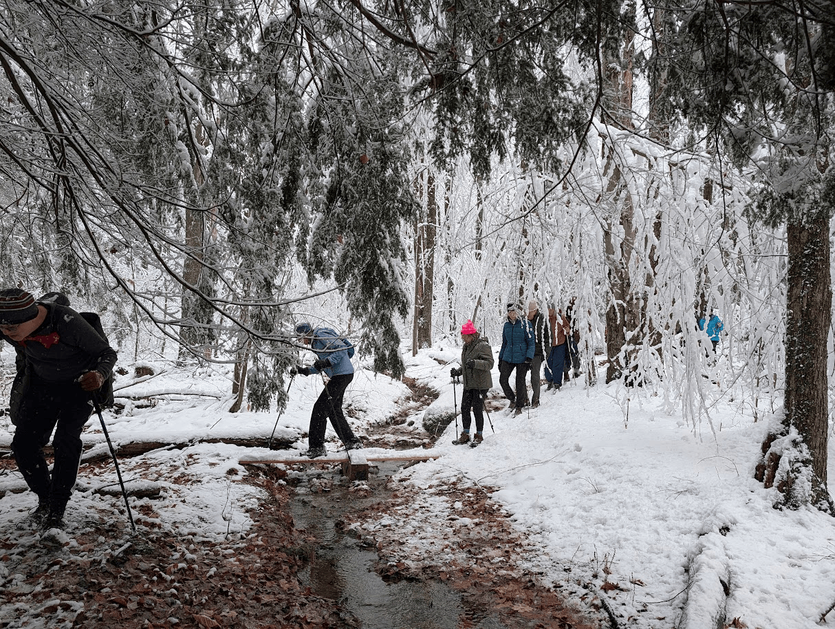
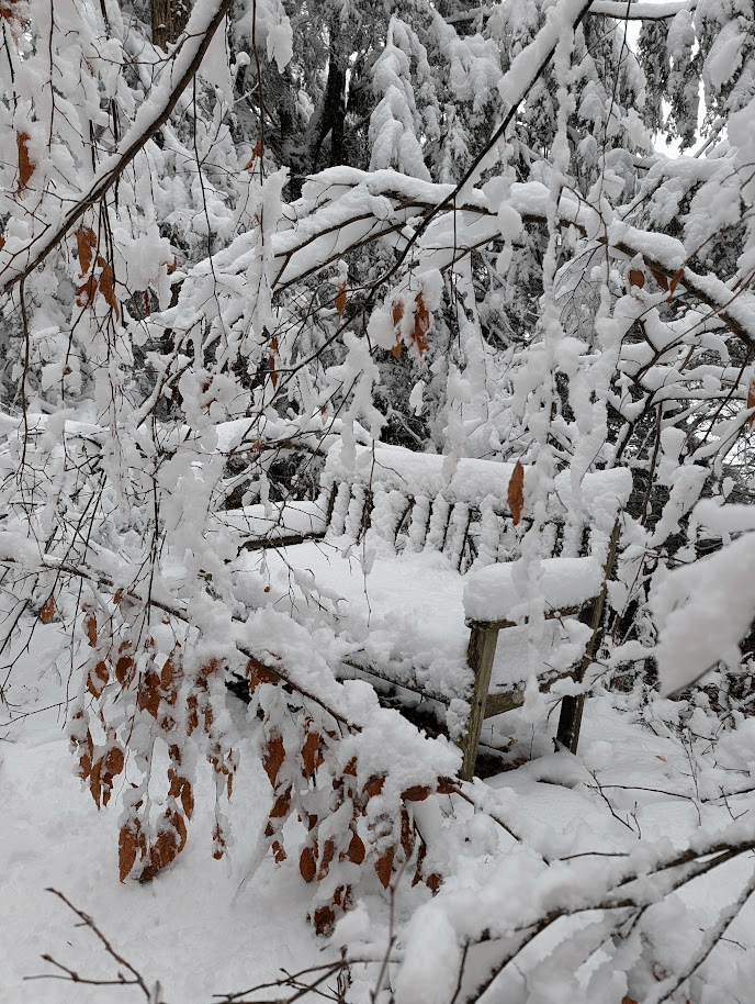
We then did a quick out and back on the orange trail to the blue “Tiny Pond” spur trail. On the way, there was much laughing and giggling as the trees thought they’d have some fun by pelting everyone with “snowballs”. We finally made it to the tiny pond to find that the bench there was not only covered in snow, but being guarded by the nearby flora.
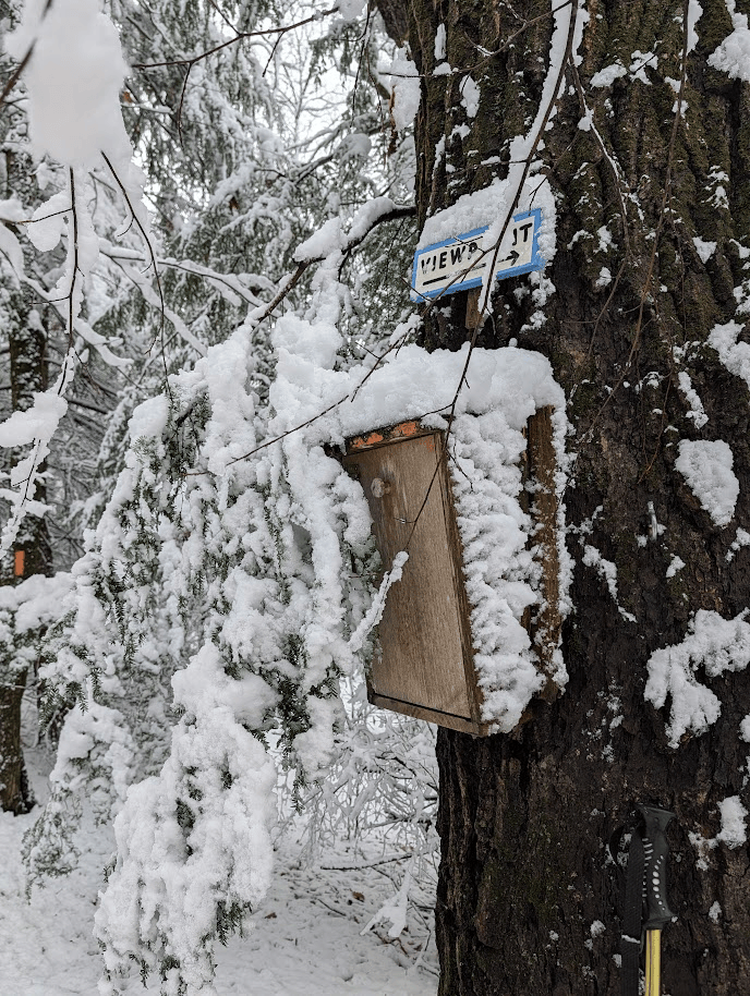
We back-tracked to the orange/red junctions & followed the orange trail back to the blue where we paused to “shovel” out and sign the register.

Instead of taking the blue switchbacks, we slipped and slid down the orange trail back to the cars. Much of the snow at the lower elevations had started to transform into slush as temperatures trended up. The hike ended at 11:30 on the nose; and we were all proud of our 3.23 miles of snow-enhanced hiking.
Sunday, November 15
Hammond Hill, Dryden, From Time Square
Hike report by Jim
Fourteen hikers arrived at “Times Square”( the junction of Star Stanton Rd and Canaan Rd) on Hammond Hill State Forest for an out and back hike of various trails on the hill. See DEC map here: Hammond Hill State Forest .
This is hike # 31-6 on our hikes list: hike #31 – ithacahikers.
Star Stanton Road was an enjoyable route to the trailhead today, as the trees along the road were solidly encased in a coat of fresh snow. As hikers arrived, the sun broke free of the cloud cover, causing the trees along the higher elevations of Star Staton Road to glow. While there was minimal snow cover on the seasonal portion of Star Stanton Rd, it didn’t impede anyones drive to the trailhead.
A couple of hikers/ dog walkers were in the area before our hike began but we encountered no one else during the hike today.
The group posed for the usual photo and then we took off, initially hiking down the yellow 4 trail. We encountered a couple of significant blow downs across the trails today, plus a couple of step-overs and even more smaller and easily moved branches that had fallen across the treadway.
There were frequent pools of water on the trail which will, given the passage of time, will turn to ice and create hazardous trail conditions. If you haven’t done so already, now is the time to put that foot traction back in your cars before hikes! Today I simply walked through the water as there was no avoiding it without significantly leaving the trail.
The yellow 4 trail meets and is collocated with the Finger Lakes Trail until the FLT veers to the south on Red 2. This section of trail is especially nice in my mind as it passes through a section of hemlocks that lend an atmospheric feel to the hike. After the only real uphill section of this hike the FLT departs the Red 2 trail in the area of the radio tower. While the yellow and red treadways had been clear to this point, the final section of the FLT was snow-covered with a few inches of loose powder. Tree branches laden with snow and leaning into the footpath were a commonly encountered thing.
I stopped at the trail register and made an entry for the group. Hikers asked that we continue on the FLT as we had arrived at the trail register sooner than I normally do on my solo hikes of this trail section. We continued on the FLT until we reached a break in the trees that offered a view of the sunbathed fields beyond the treeline. Hikers stopped there to take some photos, and then the group turned around.
On the return leg of the hike we experienced alternating periods of a fine snow powder falling down on us and even shorter periods of the sun shining through the treetops and lighting up the snow-covered trees around us. Hikers were heard exclaiming as the snow would pelt their heads, finding exposed skin around coat collars or elsewhere.
The group arrived back at the cars about twenty minutes early, which was entirely unexpected as I hike this route often and have the time and distance dialed in for a two-hour hike. Some hikers chose to do a road walk down Canaan Rd to get a full two hours from the hike.
Today’s hike took place entirely on FLT map sheet M18. FLT map sheets are available for purchase in paper or electronic formats at : fingerlakestrail.org. Sale of the map sheets helps to defray the on-going costs associated with trail maintenance.
For those hikers who are tracking their FLT miles towards an FLT50 or FLT100 patch, todays hike included 4.0 FLT miles.


