Wednesday, March 4
Catherine Valley Trail, Montour Falls
Hike report by Maria
DELIGHTFUL time on the Catherine Valley Trail with stellar company both familiar and new! A pair of smiley dogs made our troupe complete! Our trail today began at the “fishing access” point on Gennessee St. We took a slight diversion from the main trail and headed alongside the creek and through wetlands which are gorgeous all times of the year. We connected with the main trail about .7 of a mile later. The conditions were good – a little muddy and a few patches of ice, but, overall, easy to navigate. I was so happy to hike with Ithaca Hikers after a long convalescence of my knee. My apple watch indicated nearly a 5 1/2 mile hike today. Thank you to all for being of such good cheer. I look forward to hiking with you all again!
Here is the Wikipedia page I cited containing a brief synopsis of Queen Catherine’s biography. It mentions her father as being Katarioniecha, (Peter Quebec), Mohawk Indian Chief. That part seems to be factual. Multiple sources also indicate her great grandfather was white; hence her name. When the Sullivan Clinton campaign ransacked Catharine’s Village in Montour Falls, they fled to Fort Niagara in Canada. Here are a couple links if you want to learn more.
https://www.wikiwand.com/en/Catherine_Montour
https://sheroesofhistory.wordpress.com/…/catharine…


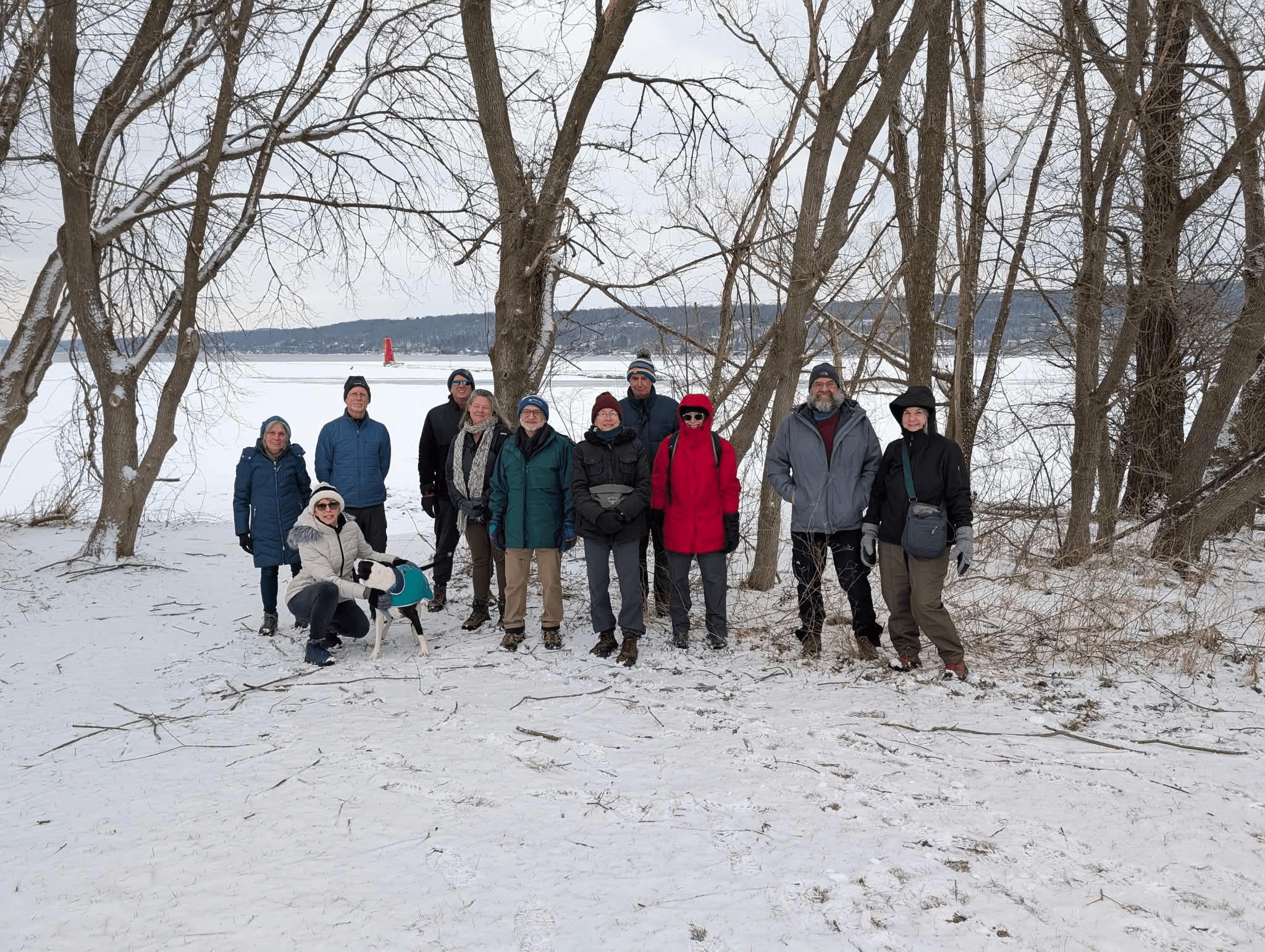
Saturday, March 7
Sapsucker Woods, Ithaca
Hike report by Margaret F.
34 (!) hikers gathered at the Cornell Lab of Ornithology (hike #62) on Saturday, March 8th for a hike through Sapsucker Woods. We welcomed two new hikers: Lee and Jeremy. The morning started out misty and cool, but soon the sun peaked out and temperatures rose for a spring like day. With a total of 5 miles of flat trails available, the 2 hour hike covered just about everything. The group started around the North side of the Sapsucker Woods Ponds then followed the Alice Kase Trail to the Les and Vail Severinghaus Trail. Several deer scampered across our path as we approached Hanshaw Rd. Across the street the group connected with the Stadlen Trail. Up to this point, the trails were dry and covered with mulch or boardwalk. However, I optimistically led the group into the Louisa Duemling Meadows and around the East Loop and Susannah Elwyn 1997 Trails. This section included several sections with standing water and mud. Several hikers chose to divert back to the parking lot on their wet feet, but most squelched onward to the Andrew Goldsworthy Egg Cairn and the Woodleton Boardwalk. Back across Hanshaw Rd., the group followed the Wilson Trail around Sapsucker Woods Pond spotting several Canada geese and 2 muskrats. The group arrived at Sapsucker Woods Road at about 11:10AM and were offered the option of concluding the hike there or taking one more loop around Sapsucker Woods Pond. The last lap of the pond was lovely and gave the remaining hikers the opportunity to enjoy pond overlooks at Timmy’s Walk and the Podell Boardwalk arriving back to the parked cars on schedule at 11:30.


Sunday, March 8
Hill Road and Curtis Road, South Danby
Hike report by Jim
Twenty-seven hikers and two dogs battled the spring time jump to meet at the junction of Curtis and Hill roads for an out-and-back road hike, led by Nancy H. This is hike 57-2 on our hikes list: https://www.ithacahikers.com/hike-57
The hike was intended to be a road walk of the seasonal portion of Curtis Rd, with the possibly of jumping on the FLT where it crosses Curtis Rd, as we have in the past. Hikers this morning found that the seasonal portion of Curtis Rd was still more heavily iced over than anticipated, so the majority of the group turned around and instead road walked a good portion of Hill Rd.
I opted to remain on Curtis Rd despite the ice, as I’ve been dealing with a bad ankle most of the last week and I preferred a slower pace today. I found that the roadbed was mostly old rotten ice that while slippery was clearly in an advanced state of decay and should be gone in a few days if we continue to enjoy warmed weather. The road was very much a stream, with active flowing water under the ice that will surely further the loss of any ice base that still exists.
I opted to leave the road entirely and walk along the shoulder of the road on the Danby State Forest land to the east of Curtis Rd, which had no snowpack at all.
At an hour I simply turned around, finding a few hikers from the group who had turned around again to re-hike the maintained portion of Curtis Rd.
While the skies were dark and brooding as I drove to the hike, the sun did come out during the hike, making the morning much more enjoyable. The open fields along the maintained portion of Curtis Rd were especially enjoyable, with their large rounds of hay and the good views of the valley to the east as we drew closer to Hill Rd at the end of the hike.
Warm welcome to Amanda, Peter and Kim on their first hike with the group!
Reminder to all hike leaders to check the hike schedule and claim a hike or two to lead in March. Feel free to substitute a hike you’d prefer to lead, if none of the listed hikes are to your liking.