Wednesday, May 13
“Two Preserve Hike”
Hike report by Mark Sussman
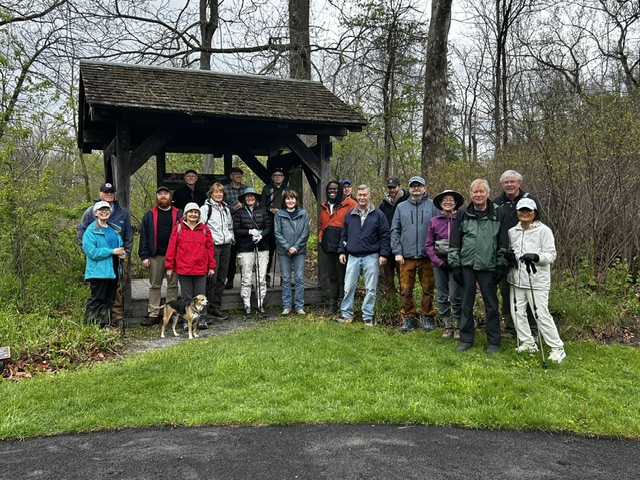
On Wednesday, May 13, nine hikers and one dog met at Stevenson Preserve for the Two Preserve hike. It was drizzling through most of the Stevenson hike, but not at all bad. Hikers enjoyed the view from the overlook and the magnificent Hemlock groves.
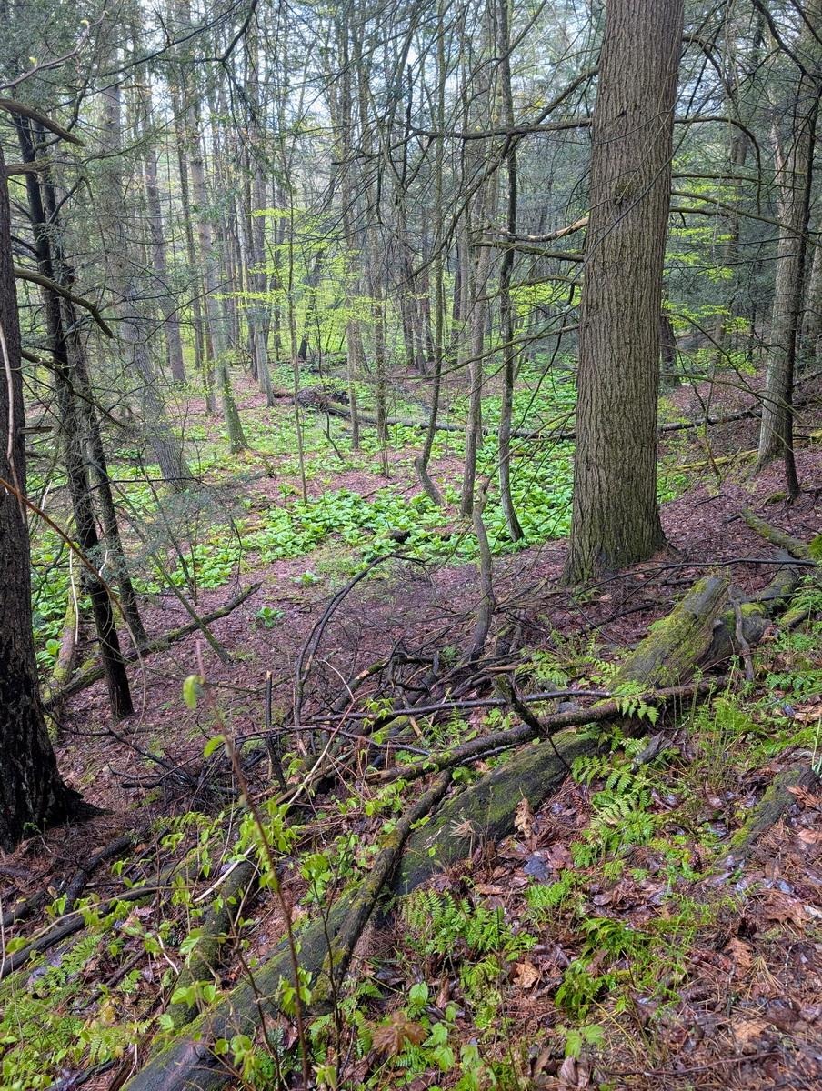
Two hikers declined a visit to the second preserve due to previous commitments. Five cars with seven hikers set off on the 15-minute drive on lovely back country roads to Martin Preserve.
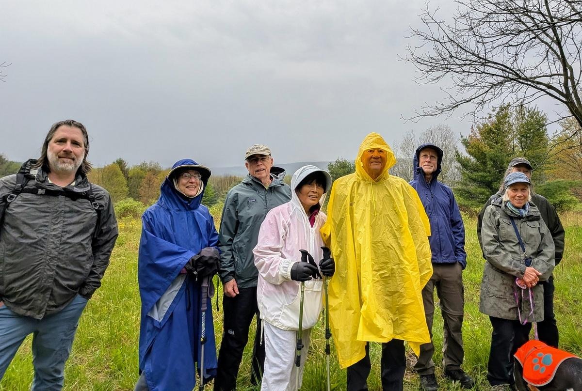
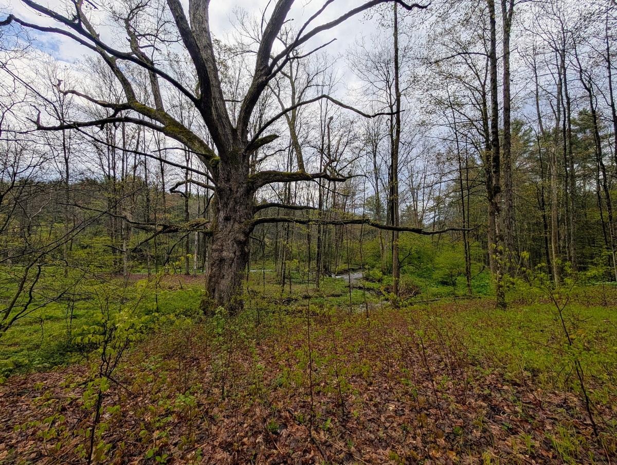
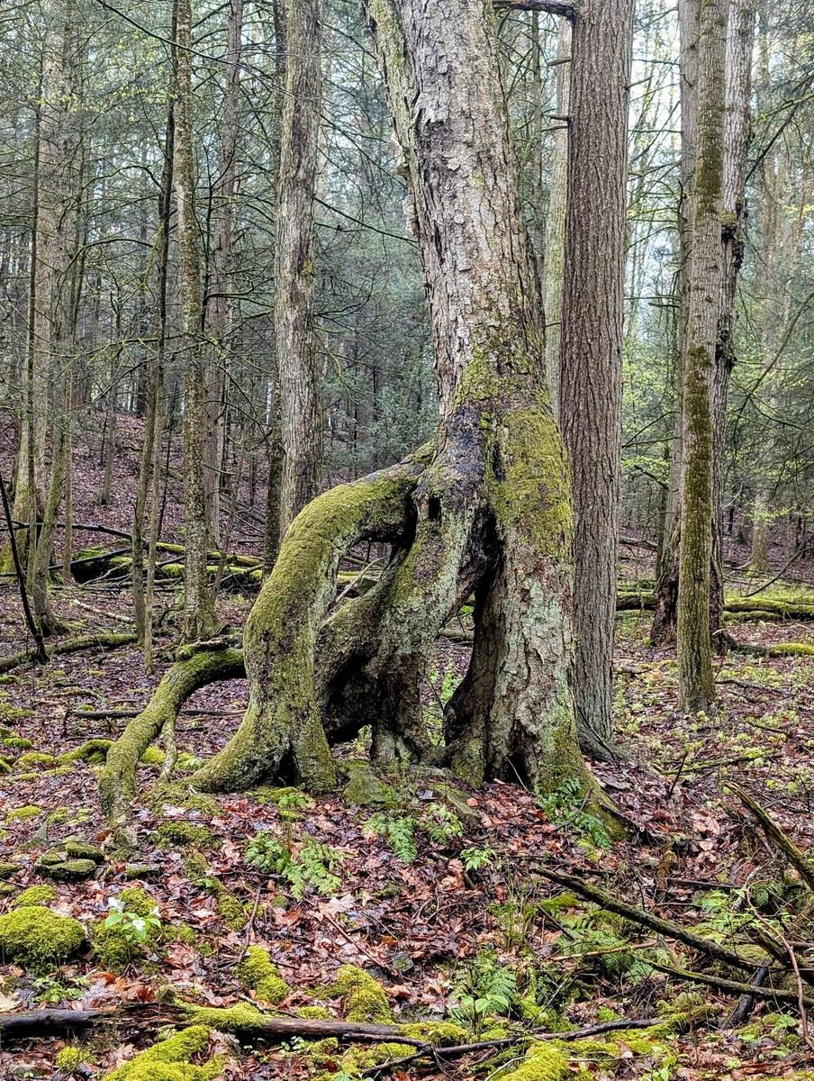
At Martin Preserve we enjoyed the dumbbell hike with no rain. The highlights were the giant mother Oak and the abundant Skunk Cabbage along the streams. Despite the overnight rain there was almost no mud on either hike.
We finished just a few minutes short of 2 hours, even with the 15-minute drive between preserves.
Saturday, May 16
Long Point State Park, Aurora
Hike report by Nina F.
Eleven hikers, three dogs and a whole heap of insects met at Long Point State Park on a beautiful spring day to hike the upper fields and forests of this 296 acre park. The hike winds through grasslands, brush land, spruce plantations, intermittent creek ravines and mature forests, and though the path was often soggy from all our recent rain, we were rewarded with beautiful scenery, including nice views of Cayuga Lake. Because the hike is fairly short (despite criss-crossing on all the available trails), most of the group finished the hike by walking down to the Lake, allowing muddy dogs to clean off while we enjoyed the welcomed sunshine.


Sunday, May 17
The Pinnacles from Bald Hill Rd., Danby SF
Hike report by Leigh Ann
Twenty-two hikers and one dog met at the corner of Bald Hill and Station Roads for this hike. From the meet-up spot, we went south on Bald Hill Rd. to its northern crossing of the Abbott Loop. We turned west on the Abbott Loop to go up to the Pinnacles and admire the view.
This is a well-drained hike and the trail was nice and dry. On this warm morning, the view from the Pinnacles was gorgeous and you could see the different shades of spring from Kelly green in the valley to chartreuse on the hill tops.
From the Pinnacles, we kept going until we got to the Abbott Loop’s southern crossing of Bald Hill Rd. This was a little less than an hour into the hike, and ten hikers chose to head north on Bald Hill Rd. from there so they could get back to the cars by about 11:00. The rest of the group walked south on Bald Hill Rd. about ¼ mile, then retraced our steps over the Pinnacles to return to the cars. We arrived at exactly 11:40, after approximately 4.75 mile and 900 feet of elevation gain.